Browse Resources
Audio/Visual -- Movie/Animation
Resources | |
|---|---|
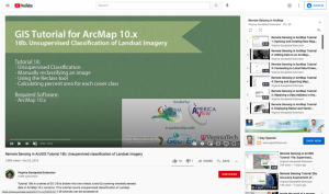
This tutorial, provided by Virginia Geospatial Extension, is part of a series of 30 videos that cover remotely sensed data in ArcMap 10.x versions. This tutorial is divided into two videos (18A and 18B) and covers "unsupervised classification of Landsat Imagery." During the tutorial, unsupervised...
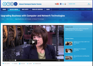
The ATETV project delivers web-based videos to connect students to careers in advanced technology. This episode visits Dell, where technology careers are abundant, and hear from a Network Advisor how she helps her clients do their jobs more efficiently. The video runs 3:29 and visitors can explore...
This resource features a 6-page article and recorded conference presentation, provided by Indian River State College, discussing the creation of the EdQuantum open-access educational curriculum, which introduces quantum-related competencies to the new and current skilled technical workforce. The...
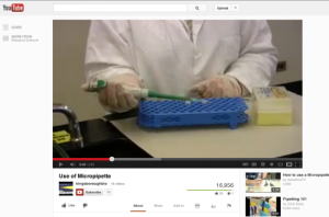
This video from CUNY Kingsborough Community College describes the technique of using a micropipette. The video would be very useful for students learning to use this equipment for the first time. Running time for the video is 2:55.
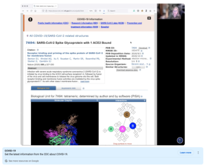
This video, provided by Digital World Biology, is from a series of tutorial videos for iCn3D, a web-based three-dimensional visualization and structural analysis platform for molecular structures. During the video, presenter Sandra Porter discusses using iCn3D to view structures that were aligned...
This video, provided by Virginia Geospatial Extension, is part of a series of 28 tutorial videos on remote sensing with ArcGIS Pro. This tutorial demonstrates how to import a map document created in ArcGIS desktop. This video runs 04:08 minutes in length. The other videos in the series are available...
This video, from the 2021 Esri Education Summit, discusses using ArcGIS StoryMaps in the classroom. During this video, "... the latest features of ArcGIS StoryMaps and how to get started" are explored. The basics are covered, including what StoryMaps are and how a user can create StoryMaps that suit...
This presentation, provided by the Building Efficiency for a Sustainable Tomorrow (BEST) Center, is from the BEST Center's 2023 Annual Institute. During this video, the presenter "... demonstrate[s] how some of the features present in all modern Building Automation Systems can be used as one of the...
This page from DeafTEC presents a series of resources and an introductory video discussing how to use cooperative learning groups in a classroom with deaf and hard-of-hearing students. The first resource is a 24 slide presentation on this topic while the following five documents are to be...
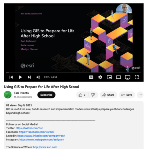
This video, from the 2021 Esri Education Summit, provides three presentations on how GIS prepares youth for challenges beyond high school. In the first presentation, Bob Kolvoord explores the measurement of cognitive and behavioral changes in students from GIS use. Kolvoord describes a...
| |
| ← Previous | Next → |
