Browse Resources
Instructional Material -- Lesson/Lesson Plan
Resources | |
|---|---|
This lesson plan, from the Contextualize to Learn project at the University of Wisconsin-Madison, is an exploration in division with fractions. In this lesson students work in pairs to use models, drawings, and equations to solve application problems involving addition, subtraction, multiplication...
This lesson plan, from the Contextualize to Learn project at the University of Wisconsin-Madison, is an exploration in division of natural numbers. In this lesson, students work in pairs to define division and conceptualize different ways of partitioning and grouping numbers. Additionally, students...
This webinar, provided by Austin Community College, discusses three questions about SARS-CoV-2. The questions discussed include:
Where did SARS-CoV-2 come from?
How is COVID-19 spreading through the globe?
What can we learn about antibodies to SARS-CoV-2?
Tools to help answer these questions...
Collection Description:
This collection includes materials from the DroneTech Educator Workshop: Drones and Geospatial Applications that was held by the National Center for Autonomous Technologies (NCAT). "This workshop ... focus[ed] on developing and integrating practical applications of Drone...
EarthComm (Earth System Science in the Community) is an Earth science curriculum designed for use by all students in U.S. high schools. This website contains resources for teachers, students, and parents, as well as information on the goals and learning approaches EarthComm uses. In addition to the...
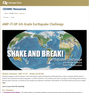
This resource, published by Georgia Tech Research Institute, features a science and data visualization activity designed for sixth graders. In this activity, students plot spatial and temporal earthquake data to make recommendations on where to build a new cell phone manufacturing plant in Northern...
In this activity, by the Lane Community College MAPS GIS Program, students work in teams to evaluate Oregon cities’ tsunami evacuation plans related to a potential 8.1 coastal earthquake. Teams use additional information from a Web-based GIS to study the multi-faceted nature of earthquake damage in...
In this lesson from MAPS GIS at Lane Community College, students examine the ecological zones in Oregon using a web-based GIS map. Using the skills acquired from the tutorial, students will be able to investigate the connections between ecoregions in Oregon relating specifically to precipitation,...
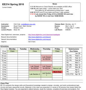
This is a series of laboratory modules and exercises designed to teach an introduction to digital logic course. It was created by Clint Cole (owner of Digilent www.digilentinc.com). He has given permission to use it for educational purposes.
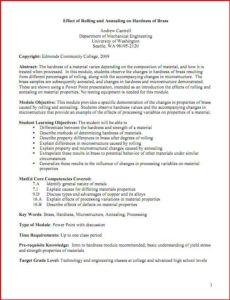
This lesson plan provides an introduction to the hardness of materials. Specifically, the exercise allows students the opportunity to "observe the changes in hardness of brass resulting from different percentages of rolling, along with the accompanying changes in microstructure." Students will also...
| |
| ← Previous | Next → |
