Browse Resources
Instructional Material -- Student Guide
Resources | |
|---|---|
Learning Unit Description:
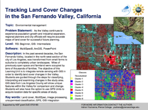
The Integrated Geospatial Education and Technology Training Project (iGETT) presents a series of Learning Units (LU) designed to incorporate federal land remote sensing data into Geographic Information System (GIS) instruction. The Tracking Land Cover Changes in the San...
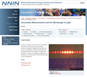
This lab, presented by the National Nanotechnology Infrastructure Network, teaches students how to measure the wavelength of a laser. Furthermore, students will calculate the uncertainty in their measurement as it is "critical to have accurate measurements on the nanoscale." A Teacher's Preparatory...
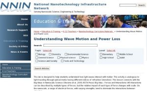
This lab, presented by the National Nanotechnology Infrastructure Network, covers the concept of wave properties. Students will learn how light waves interact with matter. The activity is "analogous to light traveling through optical media having different indices of refraction (densities)." Teacher...
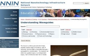
This exercise, presented by the National Nanotechnology Infrastructure Network, covers the concept of waveguides. Students will explore the "angle of incidence, angle of refraction, and how light is transmitted through a waveguide for communication." Students have the option to do this lesson as...
Module Description:
This module, from Support Center for Microsystems Education (SCME), provides "information on the evolution of the current systems of weights and measures, and an overview of the International Standards of Units and metric system." This module is divided into the following five ...
Learning Unit Description:
Integrated Geospatial Education and Technology Training (iGETT) presents a series of Learning Units (LU) designed to incorporate federal land remote sensing data into Geographic Information Systems (GIS) instruction. This LU "... explores urban heat islands (UHIs), a...
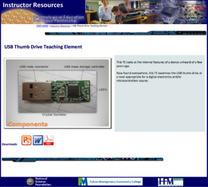
This lesson, from the Technological Education Pathways Partnership (TEPP), examines the internal workings of USB drives. A PowerPoint presentation lays out the makeup of basic USB thumb drive devices, as well as some standards and applications, and a Word document guides students through a teardown...
This lab, presented by the National Nanotechnology Infrastructure Network, teaches students about gold nanoparticles (GNPs). Students will "learn the potential disease detection uses of GNPs, conduct research on modifying GNPs to be specific to other molecules, and complete a simulation using GNP...
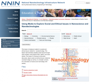
This lesson, presented by the National Nanotechnology Infrastructure Network, introduces the social and ethical issues of nanotechnology. In this activity, students will explore "possible social issues through case studies using popular films, books, and news stories. The lesson is intended to...
Learning Unit Description:
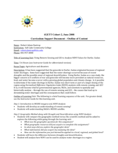
Integrated Geospatial Education and Technology Training (iGETT) presents a series of Learning Units (LU) designed to incorporate federal land remote sensing data into Geographic Information Systems (GIS) instruction. This LU focuses on what likely caused the crisis in...
| |
| ← Previous | Next → |
