Browse Resources
Resources | |
|---|---|
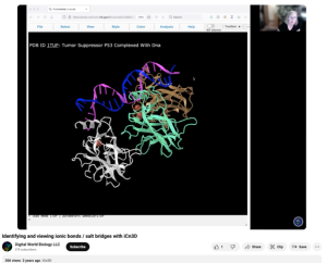
This video, provided by Digital World Biology, is from a series of tutorial videos for iCn3D, a web-based three-dimensional visualization and structural analysis platform for molecular structures. During the video, presenter Sandra Porter guides viewers through step-by-step instructions on how to...
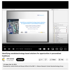
During this webinar, Joshua Smith and Stacey Gifford from IBM’s Nanobiotechnology Program provide an overview of the latest research on the relevant biology found in fluids from liquid biopsies. In addition, Smith and Gifford discuss opportunities in microfluidics for disruptive technology...
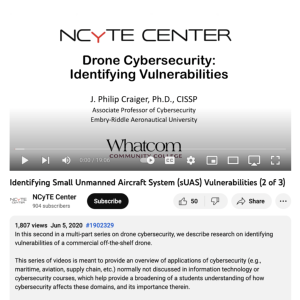
This video, from the National Cybersecurity Training and Education (NCyTE) Center, is the first in a series of three videos that discuss small unmanned aerial system (sUAS or drone) cybersecurity. These videos are meant to demonstrate that many types of computing devices are vulnerable to...
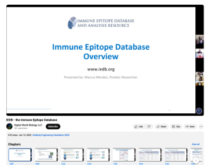
This video, provided by Digital World Biology, is from the 2022 Antibody Engineering Hackathon, an event where teams collaborated to develop Course-based Undergraduate Research projects (CURES) for students studying biotechnology. During this tutorial, Marcus Mendes, researcher at La Jolla Institute...
This iGETT Remote Sensing Education YouTube channel includes videos for teaching and learning remote sensing concepts. These videos were created by participant educators in the iGETT project. Videos include the following: Remote Sensing Made Easy, Introduction to Remote Sensing Concepts for GIS,...
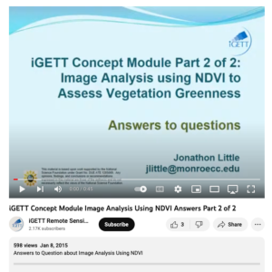
This video, created by Integrated Geospatial Education and Technology Training Project (iGETT), is the second part of a two part series on monitoring vegetation greeness with remote sensing. This video is a mini quiz that includes seven questions and answers. Questions include the following: What is...
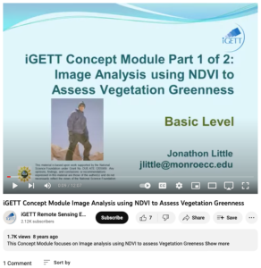
This video, from the Integrated Geospatial Education and Technology Training Project (iGETT), is the first part of a two-part presentation on monitoring vegetation greenness with remote sensing. The lecture focuses on use of the the Normalized Difference Vegetative Index (NDVI), including data...
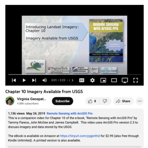
This video, provided by Virginia Geospatial Extension, is part of a series of 28 tutorial videos on remote sensing with ArcGIS Pro. This tutorial "uses ArcGIS Pro version 2.3 to discuss imagery and data stored by the USGS." This video runs 03:23 minutes in length. The other videos in the series are...
This video, created by Integrated Geospatial Education and Technology Training Project (iGETT), discusses the four types of resolutions important when acquiring or using remote sensing imagery. The four types of resolutions include: spatial, spectral, radiometric, and temporal. Each resolution is...
This webinar, published by InnovATEBIO, features two talks: one by John Carrese and Guy Hamilton, presenting a report from the Cell and Immunotherapy Hub on the labor market and skills gap for cell/immunotherapy technicians, and another, by Sandra Porter, on creating undergraduate research projects...
| |
| ← Previous | Next → |
