Browse Resources
Information and Security Technologies -- Geospatial technologies
Resources | |
|---|---|
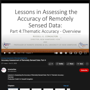
This video from AmericaView is part of a series that explores the process of assessing the accuracy of maps made from remotely sensed data. In the video, Russell G. Congalton from the University of New Hampshire provides an overview of thematic accuracy. After the lesson, learners will be able to...
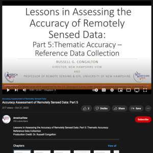
This video from AmericaView is part of a series that explores the process of assessing the accuracy of maps made from remotely sensed data. In the video, Russell G. Congalton from the University of New Hampshire explores reference data collection for thematic accuracy. After the lesson, learners...
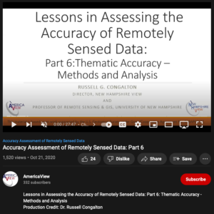
This video from AmericaView is part of a series that explores the process of assessing the accuracy of maps made from remotely sensed data. In the video, Russell G. Congalton from the University of New Hampshire explores methods and analysis for determining thematic accuracy. After the lesson,...
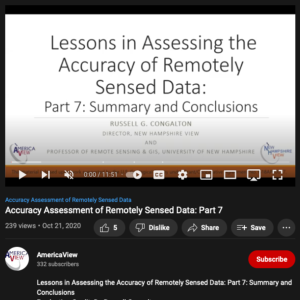
This video from AmericaView is part of a series that explores the process of assessing the accuracy of maps made from remotely sensed data. In the video, Russell G. Congalton from the University of New Hampshire provides a summary of and conclusions for the series. Congalton highlights the variety...
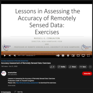
This video from AmericaView is part of a series that explores the process of assessing the accuracy of maps made from remotely sensed data. In the video, Russell G. Congalton from the University of New Hampshire describes three exercises. The exercises explore the computation of descriptive...
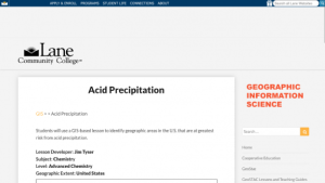
In this lesson from the MAPS GIS program at Lane Community College, acid precipitation will be defined. At different points in the lesson students will write balanced reactions for the formation acid precipitation from atmospheric sulfur and nitrogen oxides and the neutralization of acids by...
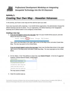
This 7-page activity is provided by the GeoTech Consortium of Western New York: Get the GIST (Geospatial Information Science Technology) Certificate and helps users create a map and add map layers in ArcGIS. The activity includes step by step instructions which involve creating a new map, adding...
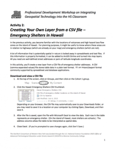
This 4-page activity is provided by the GeoTech Consortium of Western New York: Get the GIST (Geospatial Information Science Technology) Certificate and helps users turn spreadsheet data into map layers. During this activity users will create a new ArcGIS map layer from a CSV file of emergency...
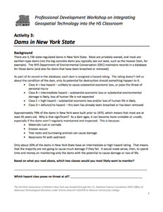
This 7-page activity is provided by the GeoTech Consortium of Western New York: Get the GIST (Geospatial Information Science Technology) Certificate and has users configure a map in ArcGIS and use it for analyzing dams in New York. The activity includes background information on state-regulated dams...
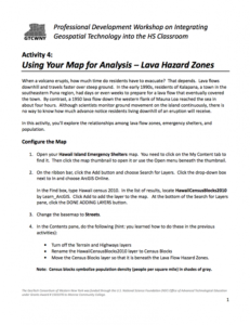
In this 12-page activity, provided by the GeoTech Consortium of Western New York: Get the GIST (Geospatial Information Science Technology) Certificate, users explore lava hazard zones using a map in ArcGIS. The activity includes an introduction and step by step instructions. The instructions involve...
| |
| ← Previous | Next → |
