Skip Navigation
PATHWAYS TO GEOSPATIAL TECHNOLOGY & CAREERS [PGTC]
(2017 - 2021)
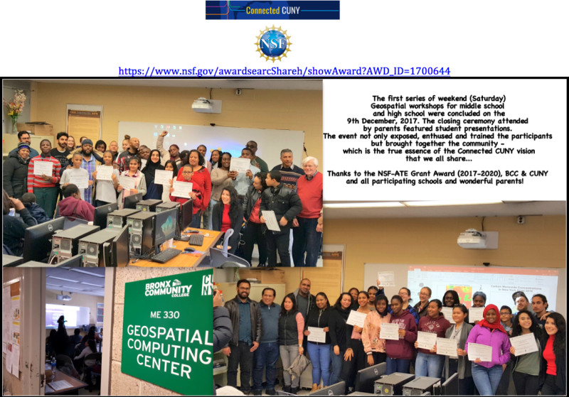
NSF - ATE GRANT AWARD # 1700644 [Dr. Sunil Bhaskaran & Dr. Ratan Dhar]
About the Program:
Geospatial analysis and geospatial technologies are used in a growing number of industries. This progress has created an increased demand for employees with essential geospatial skills, competencies, and training. In this project, Bronx Community College and York College of the City University of New York will collaborate with industrial partners to educate highly-skilled technicians to meet these evolving workforce needs, and to increase the number of young adults interested in entering the geospatial technology field. The project will develop new geospatial technology courses, an associate-level degree program, innovative summer workshops, research internship and professional development programs in geospatial applications for students and educators from institutions with limited access to suitable resources, and effective pathways toward geospatial technology careers. Bronx Community and York colleges are both minority-serving institutions with mostly female enrollment, therefore project activities will successfully recruit and train students from historically underrepresented groups to help diversify the future workforce. The project will enhance the technical education of students and provide pathways to careers in a high-technology field that is important to the nation's economy. The project aims to expand educational pathways to geospatial technology careers. It will advance knowledge and contribute to this objective through:
1) Curriculum development focused on place-based, hands-on learning experiences that enhance spatial thinking and cognition in key areas of geographic information systems, remote sensing, and global positioning systems. The Geospatial Technology Competency Model developed by the Employment Training Administration of the U.S. Department of Labor will be utilized as the foundation for these development activities to align the curriculum to national workforce competency standards.
2) Articulation agreements for the degree program from the 2-year to 4-year institutions.
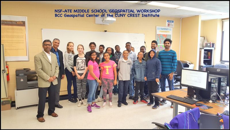
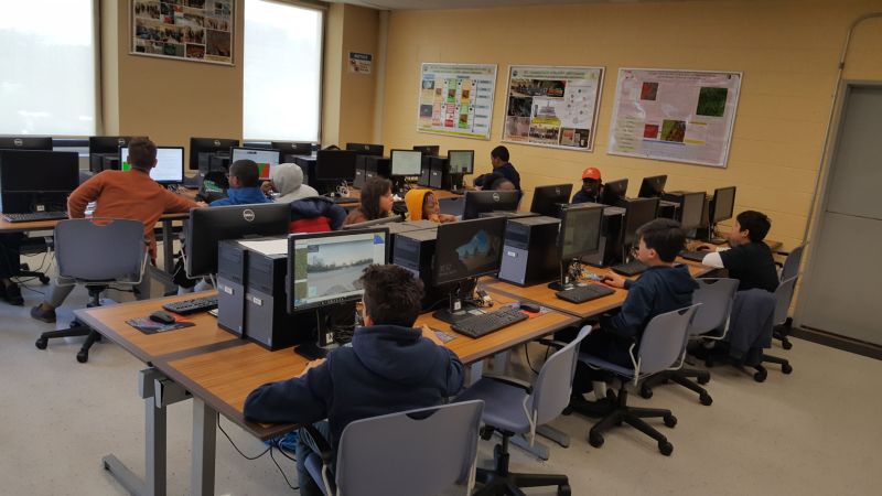
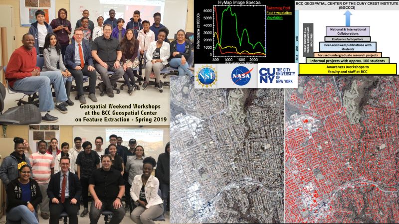
3) Implementing a summer research internship program that will heighten learning experiences for secondary and postsecondary students using industry-standard geospatial software and equipment in practical applications. Students will be exposed to cutting-edge research and careers in geospatial technology, and receive training in research ethics, data transfer methods, and scholarly writing.
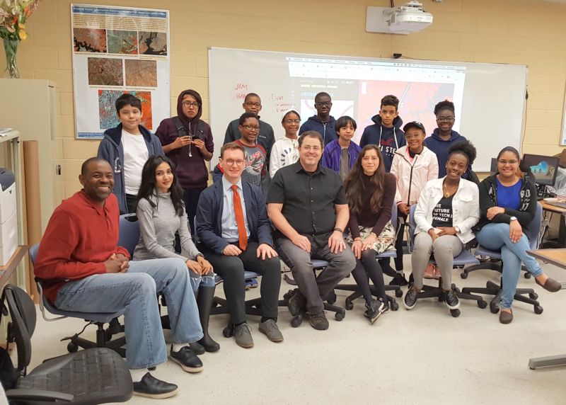
4) Conducting year-round workshops and developmental activities for students and educators from resource-poor schools and colleges to enhance their expertise.
5) Developing flexible internship pathways, in collaboration with industry partners and the New York State Department of Labor, to provide students with opportunities to acquire life-long learning skills and experiences critical for achieving success in their careers. The project materials, practices, and outcomes will be shared through the project website, professional development workshops for educators, and ATE-Center hubs.