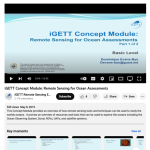
Remote Sensing for Ocean Assessments

This video, created by Integrated Geospatial Education and Technology Training Project (iGETT), discusses how remote sensing tools and techniques are used for studying oceans. The following topics are covered: why should we explore the ocean, how do we explore the ocean with remote sensing, ocean observing systems (OOS), resources for OOS, sonar systems, robotic vehicles, satellites, analysis tools, and citizen science and crowd sourcing. Review questions are also included. This video runs 10:43 minutes in length.
About this Resource
Date Issued
May 8th, 2015
Resource Type
Audience
Education Level
Language
Subject
GEM Subject
Relation
Series
Associated Files
Archived
Rights
Access Rights

Comments