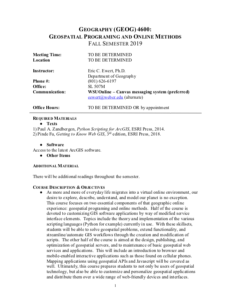
Geospatial Programming (GEOG 4600)

These resources include a 4-page syllabus and a 2-page course table map for the Geospatial Programming and Online Methods course taught at Weber State University. "Half of the course is devoted to customizing GIS software applications by way of modified service interface elements. Topics include the theory and implementation of the various scripting languages (Python for example) currently in use. The other half of the course is aimed at the design, publishing, and optimization of geospatial servers, and to maintenance of basic geospatial web services and applications." The syllabus includes a course overview, course objectives, student learning outcomes, prerequisite information, methods of instruction, a course outline, and more.
The course table map includes student learning objectives for each unit of the course. These learning objectives are mapped to corresponding Tier 4/5 competencies and skills from the Geospatial Technology Competency model - 2014 (GT).
About this Resource

Comments