Browse Resources
Resources | |
|---|---|
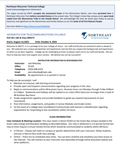
This 8-page syllabus and 6-page course outcome summary, published by Northeast Wisconsin Technical College (NWTC), provide information on the Geomatics for Telecommunications course offered by NWTC. The course provides students with the opportunity "develop the knowledge, skills, process, and...
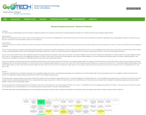
This web page provides an overview of a research study on the National Geospatial Technology Center of Excellence (GeoTech Center) Geospatial Competency Matrix. The study's purpose was to "explore the viewpoints of geospatial practitioners and educators toward the GeoTech Center Geospatial...
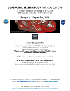
This 6-page document, from the BCC Geospatial Center of the CUNY CREST Institute, includes the application form for the summer 2020 Geospatial Technology For Educators workshop. This event was a 10 day hands-on professional development workshop in the Cloud. In addition to the application, this...
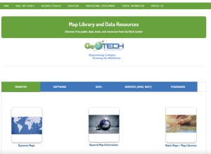
This page from GeoTech includes links to data sources and online maps that would be useful in geospatial courses. Links are included for websites, software, data, services, and standards.
The GeoTech Center, from Del Mar College, presents their YouTube channel, featuring videos on geospatial technology education, competitions, workforce, and more. View a number of the GeoTech Center's webinars, on topics from integrating GIS across the curriculum to developing e-portfolios.
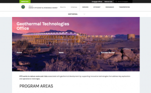
This page provides information on geothermal energy at the U.S. Department of Energy. The page includes the following sections: About the Geothermal Technologies Office, Enhanced Geothermal Systems, Hydrothermal Resources, Low-Temperature and Coproduced Resources, Systems Analysis, Publications,...
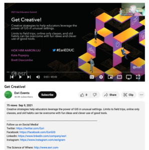
This video, from the 2021 Esri Education Summit, provides three presentations on "creative strategies to help educators leverage the power of GIS in unusual settings." In the first presentation, Hok Him "Aaron" Liu provides information on the use of GIS and StoryMap for K-12 geography education in...
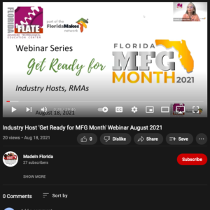
This video from the Florida Advanced Technological Education Center (FLATE) explores FLATE and its partners and projects. In the video, Marilyn Barger provides an overview of FLATE. Sierra Anderson then describes the Florida Department of Education (FDOE) Apprenticeship Florida project and its...
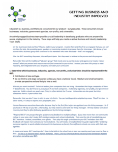
This 5-page resource, from the National Convergence Technology Center (CTC), discusses the importance of creating a Business and Industry Leadership Team (BILT) to provide leadership in developing graduates who are prepared to secure employment in industry. This resource lists eight steps involved...
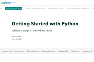
This resource, provided by the GeoTech Center, is the second of nine online modules in the Python and Geospatial Mapping course. The course is designed for experienced users of Global Information Systems (GIS) platforms who are new to programming, with the goal of teaching them how to use Python to...
| |
| ← Previous | Next → |
