Browse Resources
Resources | |
|---|---|
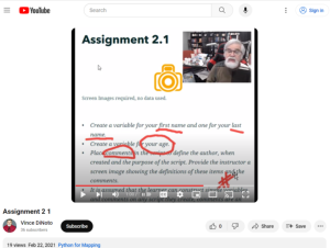
This video assignment, provided by the GeoTech Center, is from module two of the Python and Geospatial Mapping course, titled Getting Started. The course is designed for experienced users of Global Information Systems (GIS) platforms who are new to programming, with the goal of teaching them how to...
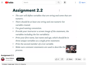
This video assignment, provided by the GeoTech Center, is the second assignment from module two of the Python and Geospatial Mapping course, titled Getting Started. The course is designed for experienced users of Global Information Systems (GIS) platforms who are new to programming, with the goal of...
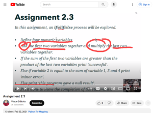
This video assignment, provided by the GeoTech Center, is the third assignment from module two of the Python and Geospatial Mapping course, titled Getting Started. The course is designed for experienced users of Global Information Systems (GIS) platforms who are new to programming, with the goal of...
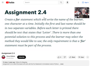
This video assignment, provided by the GeoTech Center, is the third assignment from module two of the Python and Geospatial Mapping course, titled Getting Started. The course is designed for experienced users of Global Information Systems (GIS) platforms who are new to programming, with the goal of...
This video, provided by the GeoTech Center, is from the second module of the Python and Geospatial Mapping course. The course is designed for experienced users of Global Information Systems (GIS) platforms who are new to programming, with the goal of teaching them how to use Python to automate...
This webinar, made available by Maricopa Advanced Technology Education Center (MATEC), discusses how instructors can maximize the usefulness of student survey data by designing quality student surveys. The webinar was presented by Dr. Catherine Nameth, Education Coordinator at UCLA. Topics covered...
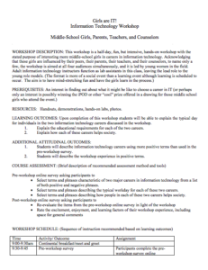
This 14-page document, made available by The National Convergence Technology Center (CTC), is a "half-day, fun, but intensive, hands-on workshop with the stated purpose of interesting more middle-school girls in careers in information technology." The workshop is geared towards middle-school girls...
This webpage, from National Cybersecurity Training and Education (NCYTE) Center, is a "one-day workshop designed to help middle school girls explore careers in technology fields." Included on the webpage is a list of course topics and downloadable course materials.
Course materials include a...
This video, from the 2021 Esri Education Summit, provides two presentations on how GIS can serve K-12 educators. In the first presentation, Soumya Chennapragada describes a GIS club at Morning Creek Elementary School. The GIS club's implementation, the Esri kids fair, GIS activities for students,...
This presentation, provided by the Building Efficiency for a Sustainable Tomorrow (BEST) Center, is from the BEST Center's 2022 Annual Institute. During the presentation, Nahir Shah, Presidential Director for the Global Cooling Efficiency Program at the Lawrence Berkley National Laboratory,...
| |
| ← Previous | Next → |
