Browse Resources
Resources | |
|---|---|
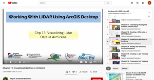
This video, provided by Virginia Geospatial Extension, is part of a series of 16 tutorial videos on using Lidar with ArcGIS Desktop. This tutorial demonstrates how to visualize Lidar data using ArcScene, one of the software applications of ArcGIS Desktop. This video runs 8:55 minutes in length. The...
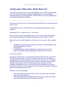
In this 2-page activity, the from Advanced Technology Environmental and Energy Center (ATEEC), students determine where the water run-off from the school actually ends up and, in the process, learn about topographic maps and surveying equipment. This activity provides a real world application of the...
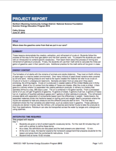
This lesson, developed by Cathy Grimes, demonstrates the creation, extraction, and refinement of crude oil, allowing students to follow the process from their local gas station and into their parents' cars. Developed for students at the fifth-grade level, this lesson teaches students to reproduce...
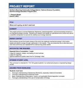
This lesson, from the Northern Wyoming Community College District, focuses on the production of wind energy and connects "Newtonian Mechanics, electromagnetism, and environmental concerns in an engineering design process." Students design a wind turbine for the conversion of kinetic energy into...
| |
| ← Previous | |


