Browse Resources
Resources | |
|---|---|
This video, created by Andy Jensen and narrated by Shant Salakian, provides a brief introduction to latitude and longitude. Salakian explains how latitude and longitude are used to describe locations on the surface of the earth. The video runs 03:14 minutes in length.
This activity, created by Edward Haley, demonstrates how sedimentary layers were deposited in horizontal positions and later repositioned by natural forces. The activity also focuses on the plans and animals which become part of the layering and later turned into fossil fuel sources.
In small...
Part of the U.S. Environmental Protection Agency's education resources, this list of "Lesson Plans, Teacher Guides and Online Resources for Educators" contains links to environmental based lesson plans, activities and ideas from the EPA, as well as other federal agencies and external organizations....
This 3-page learning activity, from the Advanced Technology Environmental and Energy Center (ATEEC), allows students to evaluate the difficulties that may arise in attempting to separate various materials. The lesson involves taking soil samples and performing a perk test of each sample....
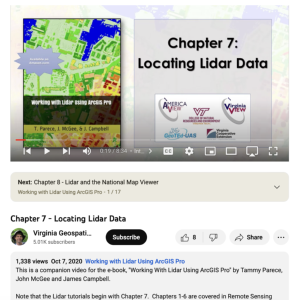
This video, provided by Virginia Geospatial Extension, is part of a series of 22 tutorial videos on working with Lidar using ArcGIS Pro. This tutorial demonstrates how to locate available lidar data. This video runs 8:34 minutes in length. The other videos in the series are available to view...
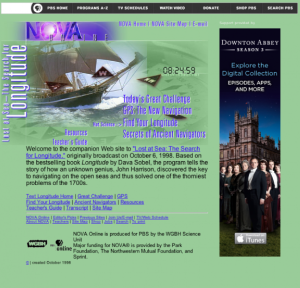
Corresponding to the PBS NOVA television program, this site covers the story of how humans developed a method for finding our way around the globe. It discusses today's greatest scientific challenges, explores GPS and how it works, and describes how ancient navigators found their way without...
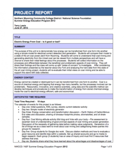
This lesson, from the Northern Wyoming Community College District, focuses on the transformation of energy from one form to another through electrical current detection and generation. Students create a model electricity generator and compare it to a real-world "state of the art" coal power plant...
Activity Description:
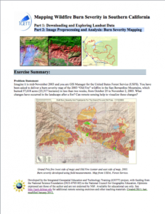
This activity, created by Christine Lewis of California State University, Chico, uses burn severity data from the 2003 "Old Fire" wildfire in the San Bernardino Mountains to underscore the role that remote sensing can play in determining changes in landscapes after a fire....
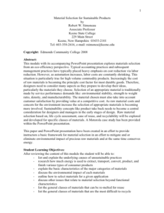
This learning module looks at materials selection from an eco-efficiency point of view. Students will learn the underlying causes of unsustainable practices, research how energy is used to create products and begin to examine the environmental impact of materials used. This activity is intended for...
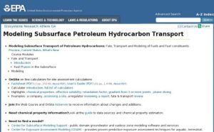
This U.S. Environmental Protection Agency website contains information on the modeling of subsurface transport of petroleum hydrocarbons and other environmental contaminants. Course modules on the fate and transport of contaminants are included. There are also OnSite on-line calculators for...
| |
| ← Previous | Next → |
