Browse Resources
Resources | |
|---|---|
This page from the GeoTech Center provides a link to an introductory textbook on Geographic Information Systems, or GIS. The textbook is freely available online. The text covers a general introduction to GIS, vector data, vector attribute data, data capture, raster data, topology, coordinate...
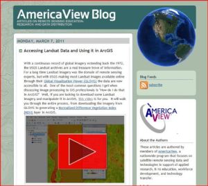
This post on the AmericaView Blog describes accessing Landsat data and using it in the ArcGIS program. The post includes a link to an instructional video which will show you how to access freely available Landsat satellite imagery and data and then work with it in ArcGIS. Running time for the video...
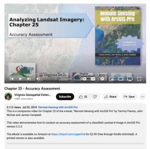
This video, provided by Virginia Geospatial Extension, is part of a series of 28 tutorial videos on remote sensing with ArcGIS Pro. This tutorial "demonstrates how to conduct an accuracy assessment of a classified Landsat 8 image in ArcGIS Pro version 2.3.3." This video runs 12:40 minutes in length....
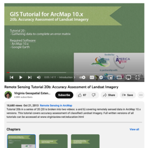
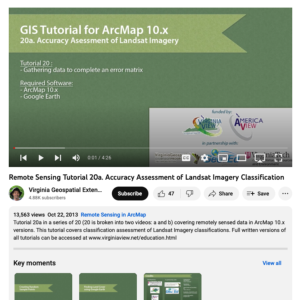
This tutorial, provided by Virginia Geospatial Extension, is part of a series of 30 videos that cover remotely sensed data in ArcMap 10.x versions. This tutorial is divided into two videos (20A and 20B) and covers "accuracy assessment of Landsat Imagery." Gathering data to complete an error matrix...
This tutorial, provided by Virginia Geospatial Extension, is part of a series of 30 videos that cover remotely sensed data in ArcMap 10.x versions. This tutorial is divided into two videos (20A and 20B) and covers "accuracy assessment of Landsat Imagery." Gathering data to complete an error matrix...
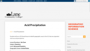
In this lesson from the MAPS GIS program at Lane Community College, acid precipitation will be defined. At different points in the lesson students will write balanced reactions for the formation acid precipitation from atmospheric sulfur and nitrogen oxides and the neutralization of acids by...
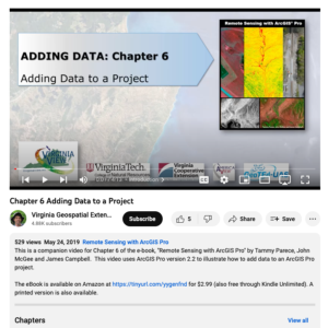
This video, provided by Virginia Geospatial Extension, is part of a series of 28 tutorial videos on remote sensing with ArcGIS Pro. This video is the last of three tutorials that cover adding data to a map project. This tutorial briefly describes the differences between raster and vector data files....
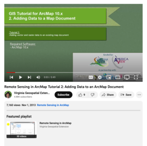
This tutorial, provided by Virginia Geospatial Extension, is part of a series of 30 videos that cover remotely sensed data in ArcMap 10.x versions. This tutorial demonstrates adding data to an ArcMap document. This video runs 00:49 seconds in length. The other videos in the series are available to...
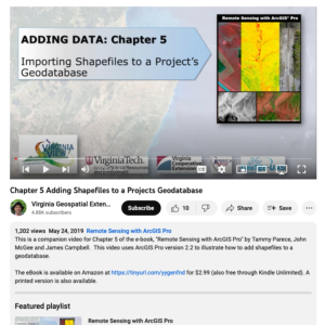
This video, provided by Virginia Geospatial Extension, is part of a series of 28 tutorial videos on remote sensing with ArcGIS Pro. This video is the second of three tutorials that cover adding data to a map project. This tutorial demonstrates how to add shapefiles to a geodatabase using ArcGIS Pro...
This video, provided by Virginia Geospatial Extension, is part of a series of 22 tutorial videos on working with Lidar using ArcGIS Pro. This tutorial demonstrates adding tiles to the Mesa County LAS dataset, updating statistics for a LAS dataset, and removing tiles from a LAS dataset. This video...
| |
| Next → | |
