Browse Resources
Resources | |
|---|---|
This one page PDF, from the GeoTech Center, provides essential resources for starting a new geospatial academic program.
Learning Unit Description:
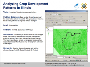
The Integrated Geospatial Education and Technology Training Project (iGETT) presents a series of Learning Units (LU) designed to incorporate federal land remote sensing data into Geographic Information System (GIS) instruction. The Analyzing Crop Development Patterns in...
In this lesson from the MAPS GIS program at Lane Community College, students will describe global spatial patterns of human development using HDI rankings. Students will complete a table of demographic data on selected countries so they can look for connections. Students will use that information to...
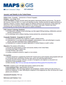
In this activity, presented by the Lane Community College's MAPS GIS Program, students "are led through a series of steps to describe spatial patterns of various data layers representing ancestry." Students will examine data from the 2005 US Census to determine whether the spatial distribution is...
In this activity, developed by the Lane Community College MAPS GIS Program, students are asked to investigate the distribution of Chinook salmon in the Columbia River basin using GIS technology and web-based maps. The objectives of the lesson are for students to be able to "use GIS to investigate...
Learning Unit Description:
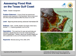
The Integrated Geospatial Education and Technology Training Project (iGETT) presents a series of Learning Units (LU) designed to incorporate federal land remote sensing data into Geographic Information System (GIS) instruction. The Flood Risk Assessment LU, by Barbara...
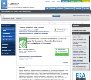
This article, from Brandon Plewe and Steven Prager, outlines the University Consortium of Geographic Information Science's (UCGIS) Geographic Information Science and Technology Body of Knowledge, which is a curriculum meant "to identify the broad spectrum of knowledge, skills and techniques that...
This video, from Internet Scout Research Group, features Annette Parker and is intended to accompany the 2024-2025 ATE (Advanced Technological Education) Impacts book. This book showcases the important role that two-year community and technical colleges play in building the skilled technical...
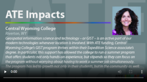
This video from the Internet Scout Research Group is part of a series that highlights student success stories related to advanced technological education (ATE) programs. In this video, Sam Martinich discusses his experiences with Central Wyoming College's geospatial information systems and...
Su Coy is studying GIS through Palomar College's ATE project and loving it. She never thought much about education as a young woman, and had some struggles along the way, but now she knows she is on the right path with GIS and is excited about her professional and personal victories.
| |
| ← Previous | Next → |

