Browse Resources
Resources | |
|---|---|
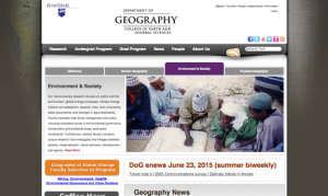
The Pennsylvania State University offers B.S., B.A., M.S., and Ph.D. degrees in Geography. The faculty encourage students to arrange courses of study appropriate to their individual needs and aspirations. Programs in geography may be directed toward a career in public service, teaching and research,...
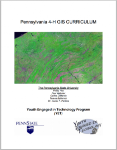
This curriculum resource, created by Penn State University for the Youth Engaged in Technology program (YET) is geared toward 4-H participants interested in learning about GIS technologies. This four week course module covers the fundamentals of GIS mapping as well as how to read and use GIS maps....
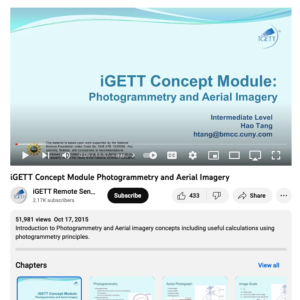
This video, created by Integrated Geospatial Education and Technology Training Project (iGETT), provides an introduction to photogrammetry and aerial imagery concepts. Useful calculations using photogrammetry principles are also discussed. An outline of topics is provided and includes the following...
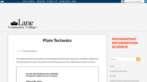
In this activity, presented by the Lane Community College MAPS GIS Program, students will learn the concept of a digital data viewer, and how this resource can help them learn more about plate tectonics. Students will learn terminology associated with both geology and computer aided GIS. The...
Learning Unit Description:
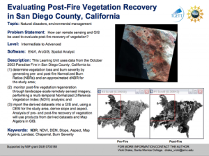
The Integrated Geospatial Education and Technology Training Project (iGETT) presents a series of Learning Units (LU) designed to incorporate federal land remote sensing data into Geographic Information Systems (GIS) instruction. The Evaluating Post-Fire Vegetation...
This resource, provided by the GeoTech Center, is the third of nine online modules in the Python and Geospatial Mapping course. The course is designed for experienced users of Global Information Systems (GIS) platforms who are new to programming, with the goal of teaching them how to use Python to...
This video, provided by the GeoTech Center, is the companion video to the second assignment from module three of the Python and Geospatial Mapping course, titled Python and Geospatial Technology. The course is designed for experienced users of Global Information Systems (GIS) platforms who are new...
This video assignment, provided by the GeoTech Center, is the first assignment from module three of the Python and Geospatial Mapping course, titled Python and Geospatial Technology. The course is designed for experienced users of Global Information Systems (GIS) platforms who are new to...
This video assignment, provided by the GeoTech Center, is the third assignment from module three of the Python and Geospatial Mapping course, titled Python and Geospatial Technology. The course is designed for experienced users of Global Information Systems (GIS) platforms who are new to...
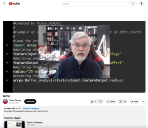
This video, provided by the GeoTech Center, is from the third module of the Python and Geospatial Mapping course, titled Python and Geospatial Technology. The course is designed for experienced users of Global Information Systems (GIS) platforms who are new to programming, with the goal of teaching...
| |
| ← Previous | Next → |
