Browse Resources
Resources | |
|---|---|
This video, from the Integrated Geospatial Education and Technology Training Project (iGETT), introduces viewers to spectral resolution in a geospatial context. The presentation touches on historic information before covering the electromagnetic spectrum, atmospheric windows, and sensors. The video...
This video, created by Integrated Geospatial Education and Technology Training Project (iGETT), discusses the use of spectral signatures in the analysis of remote sensing imagery. Topics covered include the following: what is remote sensing, spectral signature defined, electromagnetic spectrum,...
This tutorial, provided by Virginia Geospatial Extension, is part of a series of 30 videos that cover remotely sensed data in ArcMap 10.x versions. This video covers accessing and using Landsat imagery and Landsat products from ArcGIS Online. This video runs 05:56 minutes in length. The other videos...
This video, provided by Virginia Geospatial Extension, is part of a series of 28 tutorial videos on remote sensing with ArcGIS Pro. This tutorial "uses ArcGIS Pro version 2.3 to illustrate creating composites and subsets of multi-band satellite imagery." This video runs 06:08 minutes in length. The...
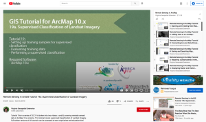
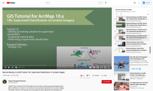
This tutorial, provided by Virginia Geospatial Extension, is part of a series of 30 videos that cover remotely sensed data in ArcMap 10.x versions. This tutorial is divided into two videos (19A and 19B) and covers "supervised classification of Landsat Imagery." During the tutorial, the following...
This tutorial, provided by Virginia Geospatial Extension, is part of a series of 30 videos that cover remotely sensed data in ArcMap 10.x versions. This tutorial is divided into two videos (19A and 19B) and covers "supervised classification of Landsat Imagery." During the tutorial, the following...
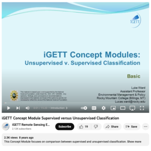
This video, from the Integrated Geospatial Education and Technology Training Project (iGETT), introduces the audience to the difference between supervised and unsupervised classification of remote sensing data. The lecture covers the concept of classification and its purpose before introducing the...
This website, from the National Geospatial Technology Center of Excellence, is a national database for GIST and geospatial technology syllabi. The syllabi are accessible to any users who want to observe geospatial syllabi from higher education institutions. Syllabi are provided free for download...
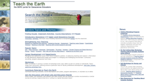
Teach the Earth is a portal into the rich geoscience education content available through dozens of independent project websites. The Teach the Earth portal is a handful of web pages which can help guide you through this diverse array of sites. It includes a search interface spanning all the...
In this activity, developed by the Lane Community College Geo-STAC program, students will "describe spatial occurrence of earthquakes and tectonic landforms. Students practice Boolean logic queries to select data and describe spatial patterns. In part two, students develop and test hypotheses to...
| |
| ← Previous | Next → |
