Browse Resources
Resources | |
|---|---|
This deployment guide describes the best practices for running a typical ESRI ArcGIS Server deployment on VMware Infrastructure. It provides overviews of Esri ArcGIS Server 10 and VMware infrastructure, then goes into ArcGIS Server architecture, deployment strategy and VMware and Esri jointly...
In this lesson from the MAPS GIS program at Lane State Community College students use skills gained from the Web-based GIS tutorial to explore the Willamette Watershed in Oregon. A correlation will be found between types of trees and the riparian zone along the McKenzie River. Population in the...
In this lesson from the MAPS GIS program at Lane Community College students will locate some weed and native species found in Oregon and will understand that while databases are beneficial in studying plant populations, local on-the-ground information is commonly more up-to-date and that both are...
This video, from the Integrated Geospatial Education and Technology Training Project (iGETT), gives a detailed explanation of the naming conventions for Landsat files. The presentation covers the elements of the file names and the context needed to understand those elements, including a brief...
This is a 27-page white paper on the history of geospatial education at two-year colleges in the United States. The paper addresses the history of the field from the 1980s to present. The document also looks at how GIS education fits into the larger community college landscape and discusses...
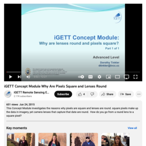
This video, created by Integrated Geospatial Education and Technology Training Project (iGETT), covers why pixels are square and lenses are round. The video discusses the following questions: why are pixels round, can pixels be shapes other than square, why are lenses round, and why aren't lenses...
This brief case study highlights San Diego's Mesa Community College's Geographic Information Systems program, and the strategies that program has adopted to recruit and retain female students. The program took part in the CalWomen Tech Project, which was a collaborative effort by several colleges to...
| |
| ← Previous | |
