Browse Resources
Resources | |
|---|---|
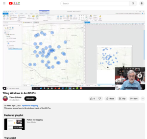
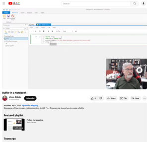
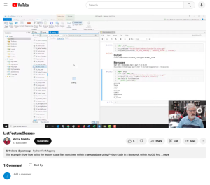
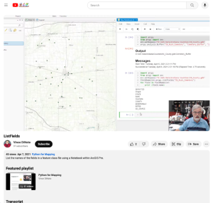
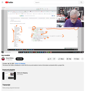
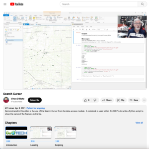
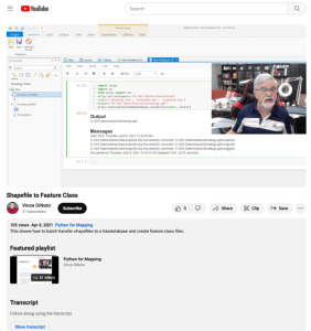
This video lesson, provided by the GeoTech Center, is from the ninth module of the Python and Geospatial Mapping course, titled Creating a Python Script Within a Notebook. The course is designed for experienced users of Global Information Systems (GIS) platforms who are new to programming, with the...
This video lesson, provided by the GeoTech Center, is from the ninth module of the Python and Geospatial Mapping course, titled Creating a Python Script Within a Notebook. The course is designed for experienced users of Global Information Systems (GIS) platforms who are new to programming, with the...
This video lesson, provided by the GeoTech Center, is from the ninth module of the Python and Geospatial Mapping course, titled Creating a Python Script Within a Notebook. The course is designed for experienced users of Global Information Systems (GIS) platforms who are new to programming, with the...
This video lesson, provided by the GeoTech Center, is from the ninth module of the Python and Geospatial Mapping course, titled Creating a Python Script Within a Notebook. The course is designed for experienced users of Global Information Systems (GIS) platforms who are new to programming, with the...
This video lesson, provided by the GeoTech Center, is from the ninth module of the Python and Geospatial Mapping course, titled Creating a Python Script Within a Notebook. The course is designed for experienced users of Global Information Systems (GIS) platforms who are new to programming, with the...
This video lesson, provided by the GeoTech Center, is from the ninth module of the Python and Geospatial Mapping course, titled Creating a Python Script Within a Notebook. The course is designed for experienced users of Global Information Systems (GIS) platforms who are new to programming, with the...
This video lesson, provided by the GeoTech Center, is from the ninth module of the Python and Geospatial Mapping course, titled Creating a Python Script Within a Notebook. The course is designed for experienced users of Global Information Systems (GIS) platforms who are new to programming, with the...
This activity, developed by the Lane Community College MAPS GIS Program, asks students to use geographical information systems (GIS) to examine the correlations between crime and substance abuse. On this site, visitors will find links to the web-based GIS viewer needed to see and manipulate the data...
This 50-page article from the GeoTech Center provides descriptions of additional workforce competencies that may not have been entirely covered in the Geospatial Management Competency Model (GMCM). Although the GMCM was not intended to be a comprehensive list of all workforce competencies,...
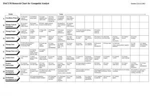
This 2-page resource is provided by GeoTech and is a DACUM research chart for geospatial analysts. This chart provides duties and tasks geospatial analysts perform. Duties include coordinate projects; manage tools and equipment; manage people; capture, manage, and analyze data, produce deliverables,...
| |
| ← Previous | Next → |
