Browse Resources
Geography -- Geographic information systems (GIS)
Resources | |
|---|---|
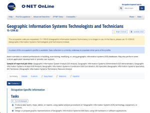
The U.S. Department of Labor Employment & Training Administration has created O*NET, a collection of detailed descriptions of the world of work for use by job seekers, workforce development and HR professionals, students, and researchers. This particular page explores the vocation of Geographic...
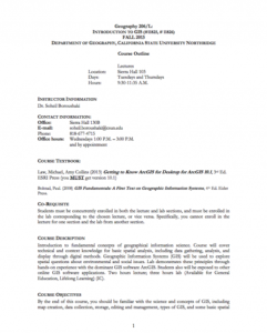
This 6-page syllabus provides an overview of the Introduction to GIS course taught at the California State University, Northridge. This course is an "introduction to fundamental concepts of geographical information science. Course will cover technical and context knowledge for basic spatial...
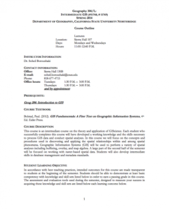
This 6-page syllabus provides an overview of the Intermediate GIS course taught at the California State University, Northridge. This course focuses on "the concepts and procedures used in discovering and applying the spatial relationships within and among spatial phenomena." The syllabus includes a...
The GeoTech Center curated this list of geospatial career resources for the benefit of both students and instructors in this subject area. This page may be useful for both students and graduates who seek to "determine their favorite career pathway and locate jobs and internship opportunities." The...
This document from the GeoTech Center provides a report on the Geospatial Environmental Project. The project, which was done at the Collegiate High School at Northwest Florida State College, aimed to "increase the number of high school students who will major in engineering, science, and/or...
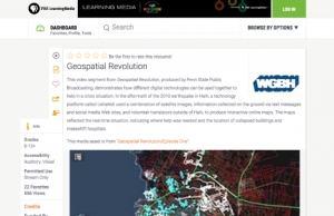
This video segment from Geospatial Revolution, produced by Penn State Public Broadcasting, demonstrates how different digital technologies can be used together to create a powerful mapping tool that can help in a crisis situation. In the aftermath of the 2010 earthquake in Haiti, a technology...
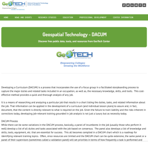
This Geotech website provides information on the Geospatial Technology Competency Model DACUMS. This site defines Developing a Curriculum (DACUM) and the DACUM Process. "Developing a Curriculum (DACUM) is a process that incorporates the use of a focus group in a facilitated storyboarding process to...
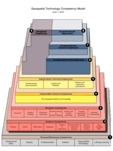
This 28 page document contains a detailed description of the Geospatial Technology Competency Model (GTCM). This pyramid model is depicted with nine tiers. The depiction "illustrates how occupational and industry competencies build on a foundation of personal effectiveness, academic, and workplace...
The GeoTech Center curated this list of case studies which will be useful sources of information for instructors in this subject area. Included in the list are Academic Case Studies, which contain information which "highlights exemplary geospatial technology academic programs from around the US....
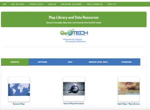
This page from GeoTech includes links to data sources and online maps that would be useful in geospatial courses. Links are included for websites, software, data, services, and standards.
| |
| ← Previous | Next → |
