Browse Resources
Resources | |
|---|---|
Learning Unit Description:
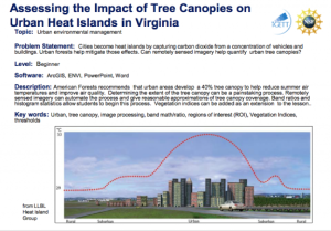
The Integrated Geospatial Education and Technology Training Project (iGETT) presents a series of Learning Units (LU) designed to incorporate federal land remote sensing data into Geographic Information System (GIS) instruction. The Assessing the Impact of Tree Canopies...
This video, from the Integrated Geospatial Education and Technology Training Project (iGETT), introduces band combinations for Landsat imagery. The presentation gives an overview of reflected light as perceived by the eye and by censors, and how representing wavelength rages with various bands...
Central New Mexico Community College offers programs in geospatial education, including coursework in geographic information systems, global positioning systems and remote sensing.
Learning Unit Description:
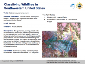
The Integrated Geospatial Education and Technology Training Project (iGETT) presents a series of Learning Units (LU) designed to incorporate federal land remote sensing data into Geographic Information System (GIS) instruction. The Classifying Wildfires in Southwestern...
This video, from the Integrated Geospatial Education and Technology Training Project (iGETT), is the first part of a two-part presentation on correcting Landsat imagery data for solar reflectance. The lecture introduces the concept of solar irradiance, brightness and its digital number, and the...
This video, from the Integrated Geospatial Education and Technology Training Project (iGETT), is the second part of a two-part presentation on correcting Landsat imagery data for solar reflectance. The lecture reviews and builds on concepts introduced in the first video, before moving on to the...
This exercise, from the Integrated Geospatial Education and Technology Training Project (iGETT), uses remote sensing data to explore the correlation between environmental conditions and conflict in Sudan. In this eight part activity, students use MODIS imagery and NDVI Analysis in the context of...
Learning Unit Description:
The Integrated Geospatial Education and Technology Training Project (iGETT) presents a series of Learning Units (LU) designed to incorporate federal land remote sensing data into Geographic Information Systems (GIS) instruction. The Detecting Gypsy Moth Defoliation in...
Learning Unit Description:
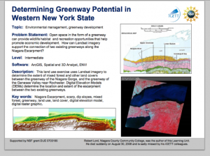
The Integrated Geospatial Education and Technology Training Project (iGETT) presents a series of Learning Units (LU) designed to incorporate federal land remote sensing data into Geographic Information System (GIS) instruction. The Determining Greenway Potential in...
Learning Unit Description:
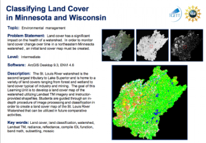
The Integrated Geospatial Education and Technology Training (iGETT) presents a series of Learning Units (LU) designed to incorporate federal land remote sensing data into Geographic Information Systems (GIS) instruction. The Classifying Land Cover in Minnesota and...
| |
| Next → | |
