Browse Resources
Resources | |
|---|---|
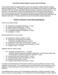
This five page document discuses model courses for a model certificate developed by GeoTech. Five core courses are recommended including Introduction to Geospatial Technology, Spatial Analysis and Modeling, and Data Acquisition and Management. A number of elective courses are also listed including...
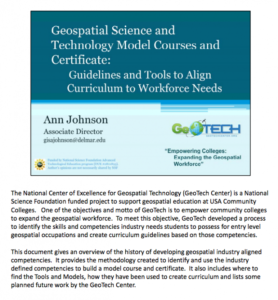
This thirty-seven page document discuses model courses for a model certificate developed by GeoTech. Slides from a past presentation are included along with annotations. Five core courses are recommended including Introduction to Geospatial Technology, Spatial Analysis and Modeling, and Data...
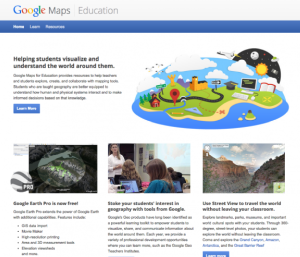
This site is a free public resource which provides teachers with the tools needed to enhance their instruction using Google Earth, the free program that brings the world to the classroom. Lesson plans include basic how-to guides, student and teacher controlled exercises and more.
In this 43-page report, Jefferson Community and Technical College aimed to analyze student enrollment and residential data from 2009 along with data from the 2000 Census. According to the report, "the initial task was to graphically represent the residential location for each student who was...
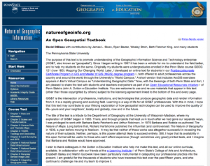
This page contains information about Nature of Geographic Information, by David DiBiase. The textbook includes sections on data and information, scales and transformations, census data and thematic maps, TIGER, topology and geocoding, land surveying and GPS, national spatial data, remote sensing and...
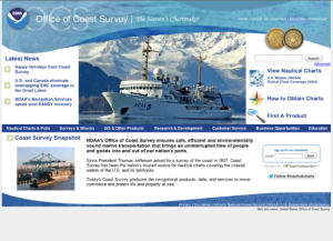
In 1807, President Thomas Jefferson established the Survey of the Coast in order to support safe transportation through the United States' waters. Today, the Office of Coast Survey is part of the National Oceanic and Atmospheric Administration's (NOAA) National Ocean Service. Their mission is to...
| |
