Browse Resources
Resources | |
|---|---|
This tutorial, provided by Virginia Geospatial Extension, is part of a series of 30 videos that cover remotely sensed data in ArcMap 10.x versions. This tutorial is divided into two videos (20A and 20B) and covers "accuracy assessment of Landsat Imagery." Gathering data to complete an error matrix...
This video from AmericaView is part of a series that explores the process of assessing the accuracy of maps made from remotely sensed data. In the video, Russell G. Congalton from the University of New Hampshire provides an introduction to map assessments for remotely sensed data, specifically...
This video from AmericaView is part of a series that explores the process of assessing the accuracy of maps made from remotely sensed data. In the video, Russell G. Congalton from the University of New Hampshire provides an overview of positional accuracy. After the lesson, learners will be able to...
This video from AmericaView is part of a series that explores the process of assessing the accuracy of maps made from remotely sensed data. In the video, Russell G. Congalton from the University of New Hampshire explores methods and analysis for positional accuracy. After the lesson, learners will...
This video from AmericaView is part of a series that explores the process of assessing the accuracy of maps made from remotely sensed data. In the video, Russell G. Congalton from the University of New Hampshire provides an overview of thematic accuracy. After the lesson, learners will be able to...
This video from AmericaView is part of a series that explores the process of assessing the accuracy of maps made from remotely sensed data. In the video, Russell G. Congalton from the University of New Hampshire explores reference data collection for thematic accuracy. After the lesson, learners...
This video from AmericaView is part of a series that explores the process of assessing the accuracy of maps made from remotely sensed data. In the video, Russell G. Congalton from the University of New Hampshire explores methods and analysis for determining thematic accuracy. After the lesson,...
This video from AmericaView is part of a series that explores the process of assessing the accuracy of maps made from remotely sensed data. In the video, Russell G. Congalton from the University of New Hampshire provides a summary of and conclusions for the series. Congalton highlights the variety...
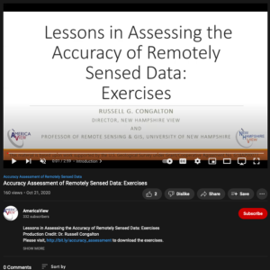
This video from AmericaView is part of a series that explores the process of assessing the accuracy of maps made from remotely sensed data. In the video, Russell G. Congalton from the University of New Hampshire describes three exercises. The exercises explore the computation of descriptive...
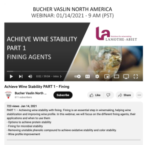
This webinar from Bucher Vaslin North America discusses achieving wine stability with fining. This webinar focuses "on the different fining agents, their applications, and when to use them." The following topics are covered:
options to achieve protein stability,
fining for microbial stability,...
| |
| ← Previous | Next → |
