Browse Resources
Audio/Visual -- Movie/Animation
Resources | |
|---|---|
This video, from the Integrated Geospatial Education and Technology Training Project (iGETT), is the first part of a three-part presentation on spatial filters in remote sensing. It introduces brightness values, spatial frequency, high and low pass filters, and the reasons for using filters. The...
This video, from the Integrated Geospatial Education and Technology Training Project (iGETT), is the second part of a three-part presentation on spatial filters in remote sensing. It builds on the previous video, introducing how spatial filters work and the different effects high and low pass...
This video, from the Integrated Geospatial Education and Technology Training Project (iGETT), is the third part of a three-part presentation on spatial filters in remote sensing. It uses review questions assess understanding of the content of the first two videos. The video is six minutes long and...
This video, provided by Virginia Geospatial Extension, is part of a series of 28 tutorial videos on remote sensing with ArcGIS Pro. This tutorial "uses ArcGIS Pro version 2.3.3 to illustrate Spectral enhancement of Landsat 8 Imagery, it discusses NIR/R, sqrt(NIR/R) and NDVI using Raster Functions,...
This tutorial, provided by Virginia Geospatial Extension, is part of a series of 30 videos that cover remotely sensed data in ArcMap 10.x versions. This tutorial is divided into two videos (16A and 16B). The "tutorial covers spatial enhancement of Landsat Imagery." Band ratios and vegetation indices...
This tutorial, provided by Virginia Geospatial Extension, is part of a series of 30 videos that cover remotely sensed data in ArcMap 10.x versions. This tutorial is divided into two videos (16A and 16B). The "tutorial covers spatial enhancement of Landsat Imagery." Band ratios and vegetation indices...
This video, provided by Virginia Geospatial Extension, is part of a series of 28 tutorial videos on remote sensing with ArcGIS Pro. This tutorial "uses ArcGIS Pro version 2.3 to illustrate spectral enhancement of Landsat 8 imagery including raster functions." This video runs 08:08 minutes in length....
This video, from the Integrated Geospatial Education and Technology Training Project (iGETT), introduces viewers to spectral resolution in a geospatial context. The presentation touches on historic information before covering the electromagnetic spectrum, atmospheric windows, and sensors. The video...
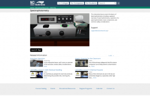
The North Carolina Community College System BioNetwork's interactive eLearning tools (IETs) are reusable chunks of training that can be deployed in a variety of courses or training programs. IETs are designed to enhance, not replace hands-on training. Learners are able to enter a hands-on lab...
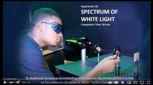
This video from Laser-Tec is part of a series of light and optics experiments. In this lab, participants pass white light through a diffraction to separate and view all colors of the light spectrum. Participants learn about the order of colors in the light spectrum and different types of spectra...
| |
| ← Previous | Next → |
