Browse Resources
Audio/Visual -- Movie/Animation
Resources | |
|---|---|
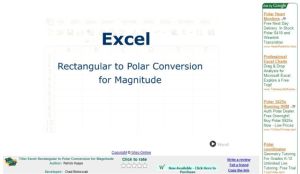
In this animated and interactive object, learners read how to convert complex numbers to their polar equivalent in Excel.
This webinar, published by InnovATEBIO, provides insight on best practices and activities for delivering online biotechnology education. In the video, Justin Tickhill and Jason Tucker provide real-world solutions from North Central State College in Mansfield, Ohio as instructors moved from in-person...
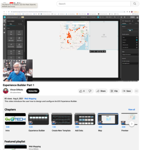
This video, provided by the GeoTech Center, is part of a series on web mapping and focuses on designing and configuring the ArcGIS Experience Builder. The ArcGIS Experience Builder allows for the creation of low-code and no-code Geographic Information System (GIS) web apps through configurable...
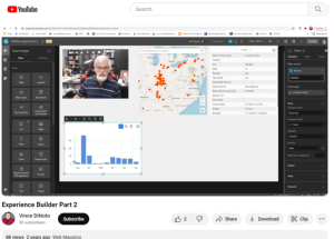
This video, provided by the GeoTech Center, is part of a series on web mapping and provides an overview of the tools/widgets that can be used with geospatial data in the ArcGIS Experience Builder. The ArcGIS Experience Builder allows for the creation of low-code and no-code Geographic Information...
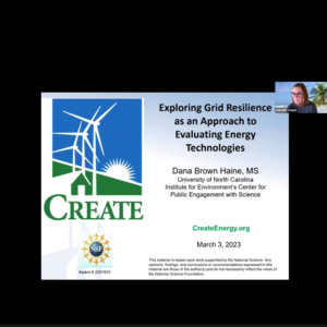
This webinar recording from the Center for Renewable Energy Advanced Technological Education Resource Center (CREATE) features a presentation from Dana Haine, who provides an overview of a lesson that invites students to learn about grid infrastructure, thermal power plants, and renewable energy...
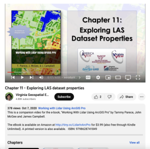
This video, provided by Virginia Geospatial Extension, is part of a series of 22 tutorial videos on working with Lidar using ArcGIS Pro. This tutorial covers lidar dataset properties and metadata, including point count, coordinate system information, and more. This video runs 6:01 minutes in length....
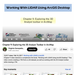
This video, provided by Virginia Geospatial Extension, is part of a series of 16 tutorial videos on using Lidar with ArcGIS Desktop. This tutorial demonstrates how to work with the 3D Analyst toolbar in ArcMap, one of the software applications of ArcGIS Desktop. This video runs 08:05 minutes in...
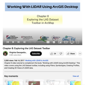
This video, provided by Virginia Geospatial Extension, is part of a series of 16 tutorial videos on using Lidar with ArcGIS Desktop. This tutorial demonstrates how to navigate the LAS dataset toolbar in ArcMap, one of the software applications of ArcGIS Desktop. This video runs 07:00 minutes in...
This video from Columbia Gorge Community College is part one of two videos where viewers "learn to enter and interpret numbers using engineering prefixes in the TI-89 scientific calculator." A basic knowledge of engineering notation is required to understand the content. Best practices for using the...
This video from Columbia Gorge Community College is part two of two videos where viewers "learn to enter and interpret numbers using engineering prefixes in the TI-89 scientific calculator." A basic knowledge of engineering notation is required to understand the content. Employing engineering...
| |
| ← Previous | Next → |
