Browse Resources
Audio/Visual -- Movie/Animation
Resources | |
|---|---|
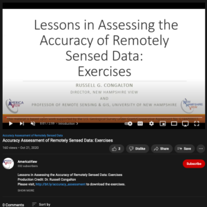
This video from AmericaView is part of a series that explores the process of assessing the accuracy of maps made from remotely sensed data. In the video, Russell G. Congalton from the University of New Hampshire describes three exercises. The exercises explore the computation of descriptive...
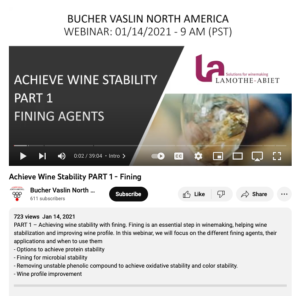
This webinar from Bucher Vaslin North America discusses achieving wine stability with fining. This webinar focuses "on the different fining agents, their applications, and when to use them." The following topics are covered:
options to achieve protein stability,
fining for microbial stability,...
This webinar from Bucher Vaslin North America covers wine balance. This topic can be artistic and subjective but there are also rules and principles to follow. This video is intended to help viewers understand the skeleton of wine balance. Elgantine Chauffour and Guillaume Desport discuss different...
In this professional development video from Getting Results, Dr. John Bransford, professor of education at the University of Washington School of Education, and an instructor talk about how to engage students. Bransford says engagement involves getting students interested in working on problems they...
Description:
This webinar, made available by EvaluATE: Evaluation Resource Center for Advanced Technological Education (ATE), provides strategies for adapting ATE evaluations for social distancing during the COVID-19 pandemic. Topics covered include: changes in inputs and/or resources in the logic...
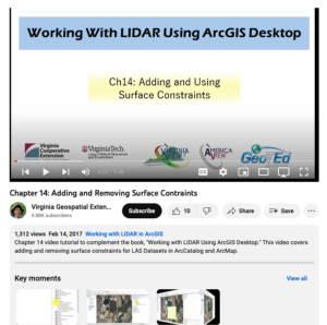
This video, provided by Virginia Geospatial Extension, is part of a series of 16 tutorial videos on using Lidar with ArcGIS Desktop. This tutorial demonstrates how to add and remove surface constraints on a Lidar dataset in ArcGIS Desktop. This video runs 05:46 minutes in length. The other videos in...
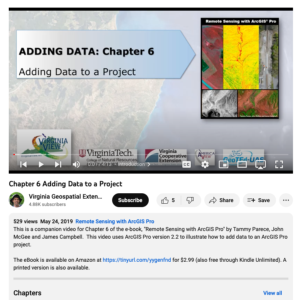
This video, provided by Virginia Geospatial Extension, is part of a series of 28 tutorial videos on remote sensing with ArcGIS Pro. This video is the last of three tutorials that cover adding data to a map project. This tutorial briefly describes the differences between raster and vector data files....
This tutorial, provided by Virginia Geospatial Extension, is part of a series of 30 videos that cover remotely sensed data in ArcMap 10.x versions. This tutorial demonstrates adding data to an ArcMap document. This video runs 00:49 seconds in length. The other videos in the series are available to...
This video, provided by Virginia Geospatial Extension, is part of a series of 16 tutorial videos on using Lidar with ArcGIS Desktop. This tutorial demonstrates how to add files to an existing LAS-formatted Lidar datasets for use in ArcGIS Desktop. This video runs 04:29 minutes in length. The other...
This video, provided by Virginia Geospatial Extension, is part of a series of 28 tutorial videos on remote sensing with ArcGIS Pro. This video is the second of three tutorials that cover adding data to a map project. This tutorial demonstrates how to add shapefiles to a geodatabase using ArcGIS Pro...
| |
| ← Previous | Next → |
