Browse Resources
Instructional Material -- Activity
Resources | |
|---|---|
This video assignment, provided by the GeoTech Center, is the second assignment from module five of the Python and Geospatial Mapping course, titled Python with Labeling and Calculate Field. The course is designed for experienced users of Global Information Systems (GIS) platforms who are new to...
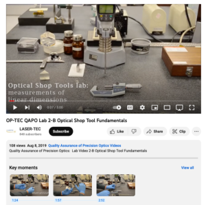
This video, created by the National Center for Optics and Photonics Education, discusses the fundamentals of optical shops, by focusing on tools commonly found in these workspaces. Tools discussed include digital calipers, micrometers, height gauges, and more.
The video runs 5:00 minutes in...
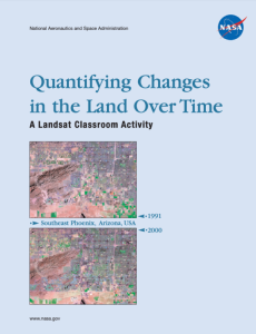
This 36-page landsat activity was published by the National Aeronautics and Space Administration and is intended "to enable students to analyze land cover change." This activity will help students "... grasp the extent, significance, and consequences of land cover change; and to introduce them to...
This exercise, created by the Integrated Geospatial Education and Technology Training Project (iGETT), uses real-world Landsat data on vegetation from northeastern Maine to assess changes in ground cover over four years as it relates to blueberry cultivation and its impact on the local environment....
Module Description:
This module was created by the Regional Center for Nuclear Education and Training (RCNET) and “is an introduction to general robotics, robot operating systems, and the benefits and applications of robotics in nuclear technology." The module discusses what a robot is and the...
This exercise, created by the Integrated Geospatial Education and Technology Training Project (iGETT), uses Landsat data and ArcGIS 10 software to examine land cover changes between 1988 and 2008 in Long Creek Watershed (LCW), a tributary to the Catawba River (which originates in Western North...
This activity, from the Technological Education Pathways Partnership (TEPP), leads students in a teardown of a remote control to examine transmission function and signal analysis in the device. Students examine the circuit board and transmitter components in a simple DVD player remote, led by...
This 1-page activity, from the Advanced Technology Environmental and Energy Center, instructs students on resource management practices. The activity is most appropriate for environmental biology or general science classes. The purpose of the lesson is to teach the cost effectiveness of mining and...
This webpage, from National Cybersecurity Training and Education (NCYTE) Center, is one of seven learning modules from the Cybersecurity-Infused Computer Science Modules series. This module introduces students to "cybersecurity first principles in the context of responsible software development."...
This lesson, presented by the National Nanotechnology Infrastructure Network, introduces elementary students to the concept of using tools to gather information about the world around them. This provides a useful skill foundation for students as they continue into middle and high school and...
| |
| ← Previous | Next → |

