Browse Resources
Instructional Material -- Activity
Resources | |
|---|---|
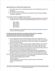
In this activity provided by the Unmanned Aircraft System operations Technician Education Program (UASTEP), students will be introduced to a multispectral sensor that can be used with a drone or unmanned aircraft system. In addition, students will analyze multispectral data from the sensor by using...
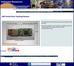
This lesson, from the Technological Education Pathways Partnership (TEPP), examines the internal workings of USB drives. A PowerPoint presentation lays out the makeup of basic USB thumb drive devices, as well as some standards and applications, and a Word document guides students through a teardown...
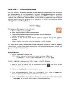
This two-page document, made available by Clark Community College, describes a short hands-on activity designed to familiarize students with "digitizing, GPS mapping of field boundaries and calculating acres for precision agriculture purposes." During the activity students use a Wi-Fi enabled iPad...
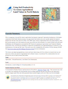
This exercise, from the Integrated Geospatial Education and Technology Training Project (iGETT), uses digital geospatial data (vector and raster data) along with Esri software to classify land use and land cover within one section of agricultural land in Burke County, North Dakota to demonstrate how...
This document, provided by Clark State Community college, can be used by agricultural science instructors to learn how to navigate AgLeader SMS Advanced software. Topics covered include: Displaying Spatial Data, Creating Maps, Importing Data Into Software, Importing Field Boundaries, Importing Soil...
This 9-page resource is provided by AgrowKnowledge and is a guide to using Soil Survey Geographic Database (SSURGO) data with fGIS. fGIS is a lightweight and free geographic information system (GIS). "This information sheet details a method of preparing the data for use with fGIS, and identifies...
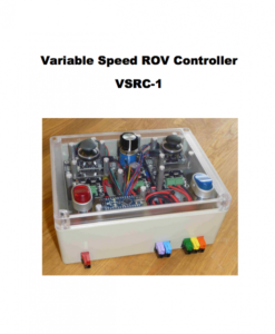
This set of instructions, created by Robert L. Kershaw, help individuals in any setting develop their own Variable Speed ROV (Remotely Operated Vehicle) controller. As Kershaw explains in the introduction: "The goal for this project was creating a low cost, 3 axis (X-Y-Z) control box. The control...
This 4-page resource, provided by the Southeast Maritime and Transportation (SMART) Center, is a vessel operations career simulation activity for high school students. "The goal of this SMART activity is to expose students to the educational requirements as well as the duties and responsibilities of...
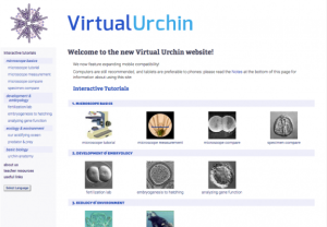
This site, from Stanford University and the National Science Foundation, provides access to interactive tutorials for students and teachers using sea urchins to demonstrate stages of fertilization and development. The animated tutorials, which require Flash, cover topics like 'fertilization &...
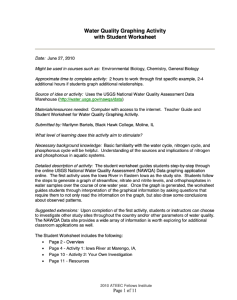
This 11-page worksheet, from the Advanced Technology Environmental and Energy Center (ATEEC), includes two activities that use data from the U.S. Geological Survey's National Water-Quality Assessment Program (NAWQA). The data is used to graph changes in discharge and water quality parameters over...
| |
| ← Previous | Next → |
