Browse Resources
Instructional Material -- Instructor Guide/Manual
Resources | |
|---|---|
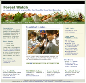
This webpage, provided by the University New Hampshire, is an educational research program that focuses on New England forest systems. Spreadsheets can be downloaded for teachers to use in gathering their own data. Materials for educational use are divided into two species categories: Mapes and...
Learning Unit Description:
Integrated Geospatial Education and Technology Training (iGETT) presents a series of Learning Units (LU) designed to incorporate federal land remote sensing data into Geographic Information Systems (GIS) instruction. This LU "... explores urban heat islands (UHIs), a...
Exercise Description:
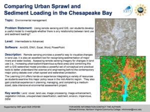
This exercise, created by the Integrated Geospatial Education and Technology Training Project (iGETT) asks students to develop a model to examine the relationship between land use and sediment loading. Data from the Chesapeake Bay region will be utilized. Remote sensing...
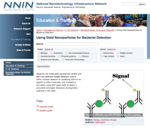
This lab, presented by the National Nanotechnology Infrastructure Network, teaches students about gold nanoparticles (GNPs). Students will "learn the potential disease detection uses of GNPs, conduct research on modifying GNPs to be specific to other molecules, and complete a simulation using GNP...
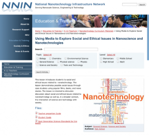
This lesson, presented by the National Nanotechnology Infrastructure Network, introduces the social and ethical issues of nanotechnology. In this activity, students will explore "possible social issues through case studies using popular films, books, and news stories. The lesson is intended to...
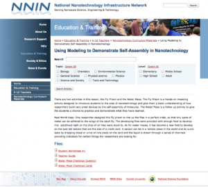
This lesson, presented by the National Nanotechnology Infrastructure Network, consists of two activities, 'Fly Poison' and 'Water Maze,' to introduce students to self-assembly in nanotechnology. 'Fly Poison' models how "researchers build very small devices by the self-assembly of molecules" for...
Learning Unit Description:
Integrated Geospatial Education and Technology Training (iGETT) presents a series of Learning Units (LU) designed to incorporate federal land remote sensing data into Geographic Information Systems (GIS) instruction. This LU focuses on what likely caused the crisis in...
Learning Unit Description:
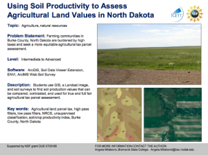
The Integrated Geospatial Education and Technology Training Project (iGETT) presents a series of Learning Units (LU) designed to incorporate federal land remote sensing data into Geographic Information System (GIS) instruction. The Using Soil Productivity to Assess...
This learning activity will provide an introduction to the tools used for hardness testing of various materials through either in-class demonstration or a PowerPoint presentation and lab combination, depending on the preference of the educator and equipment available. Students will learn about the...
This lesson plan introduces students to microscopy using a light microscope. The unit will provide a background of light optical microscopy and the ways of manipulating the tool in order to optimize viewing of a sample. Students will gain a basic understanding of how the microscope works and learn...
| |
| ← Previous | Next → |
