Browse Resources
Instructional Material -- Syllabus
Resources | |
|---|---|
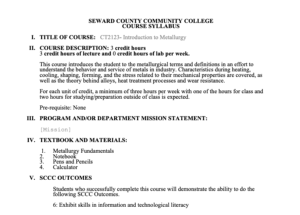
This 2-page syllabus provides information about the Introduction to Metallurgy course taught at Seward County Community College (SCCC). This course is intended to teach students about the behavior and service of metals in industry. Metallurgical terms and definitions are introduced. Students study "...
This 3-page syllabus provides information about the Coatings and Linings course taught at Seward County Community College (SCCC). The course "... is an in-depth study of corrosion control with coatings and linings, which includes surface preparation, coating application, inspection, and failure...
This 3-page syllabus provides information about Reports and Estimating course taught at Seward County Community College (SCCC). During this course, students study "... corrosion reports and estimation of cost associated with corrosion reports and estimation of cost associated with projects along...
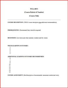
This 2-page resource, from the National Convergence Technology Center (CTC), is a template for a basic course syllabus. Sections are included for an instructor to fill in the basic information about the course, including a description, prerequisites, intended learning outcomes, and the course...
This 7-page syllabus and 5-page course outcome summary, published by Northeast Wisconsin Technical College (NWTC), provide information on the Data Communications Systems course offered by NWTC. The course provides students with "the tools to design and maintain industrial communications systems."...
Program Description:
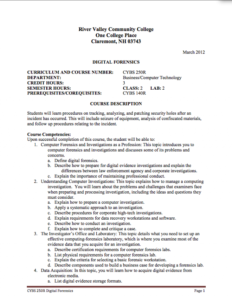
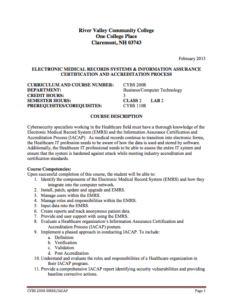
River Valley Community College, in association with Program Development in Cybersecurity with Focus on Business and Healthcare Concepts, has developed a 4-semester program to prepare students to working the Information Assurance (IA) field with a focus on Cybersecurity and...
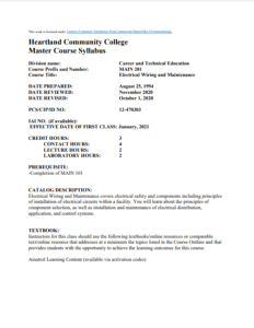
This 4-page syllabus, published by Heartland Community College (HCC), provides information about the Electrical Wiring and Maintenance course taught at HCC. The course focuses on electrical safety and the principles of installing electrical circuits in a facility. Throughout the course, students...
This 7-page syllabus and 6-page course outcome summary, published by Northeast Wisconsin Technical College (NWTC), provide information about the Electricity-Basic course taught at NWTC. This course provides the opportunity for students "... to develop the knowledge skills process and understanding...
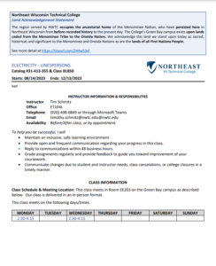
This 9-page syllabus and 5-page course outcome summary, published by Northeast Wisconsin Technical College (NWTC), provide information about the Electricity-Linepersons course taught at NWTC. This course provides students with the opportunity to develop "develop the understanding of electric...
Program Description:
River Valley Community College, in association with Program Development in Cybersecurity with Focus on Business and Healthcare Concepts, has developed a 4-semester program to prepare students to working the Information Assurance (IA) field with a focus on Cybersecurity and...
| |
| ← Previous | Next → |
