Browse Resources
Instructional Material -- Tutorial
Resources |
|---|
Course Description:
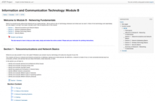
In this Information and Communication Technology Module B course, developed by Articulated Technological Education Pathways (ATEP), students focus on network and internet connectivity. Each section of the course includes resources related to the instruction topic. The course is...
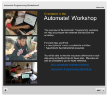
This resource, provided by Metropolitan Community College, is an orientation to the Automate! Programming Workshop intended to help users prepare the materials and facilitate the workshop. Two main workshop objectives include: Integrate information technology concepts within a building automation...
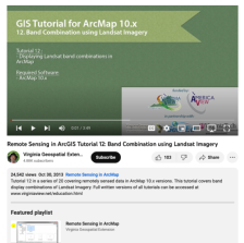
This tutorial, provided by Virginia Geospatial Extension, is part of a series of 30 tutorial videos that cover remotely sensed data in ArcMap 10.x versions. "This tutorial covers band display combinations of Landsat Imagery." This video runs 03:49 minutes in length. The other videos in the series...
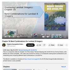
This video, provided by Virginia Geospatial Extension, is part of a series of 28 tutorial videos on remote sensing with ArcGIS Pro. This tutorial "illustrate[s] creating band combinations and interpreting and comparing different band combinations..." Presets and symbology are both demonstrated. This...
This tutorial, provided by Virginia Geospatial Extension, is part of a series of 30 videos that cover remotely sensed data in ArcMap 10.x versions. Tutorial seven is divided into four videos: A, B, C, and D. This video covers bulk downloading data from GLOVIS. This video runs 01:24 minutes in...
This tutorial, provided by Virginia Geospatial Extension, is part of a series of 30 videos that cover remotely sensed data in ArcMap 10.x versions. This "tutorial covers change detection using Landsat Imagery." Visual change detection and calculating differences between images are demonstrated in...
This video, provided by Virginia Geospatial Extension, is part of a series of 28 tutorial videos on remote sensing with ArcGIS Pro. This tutorial "... uses ArcGIS Pro version 2.3.3 to complete an unsupervised classification on a Landsat 8 image; determine the land use / land cover category...
This video, provided by Virginia Geospatial Extension, is part of a series of 22 tutorial videos on working with Lidar using ArcGIS Pro. This tutorial demonstrates the following four geoprocessing tools: classify ground, classify by height, reassign classification, and feature proximity:2D...
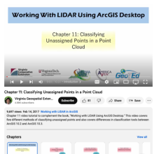
This video, provided by Virginia Geospatial Extension, is part of a series of 16 tutorial videos on using Lidar with ArcGIS Desktop. This tutorial demonstrates how to classify unassigned points in a point cloud. This video runs 10:23 minutes in length. The other videos in the series are available to...
This web page is provided by West Texas A & M University and contains 59 pre-algebra and algebra tutorials. Topics include How to Succeed in a Math Class, Integer Exponents, Radicals, Polynomials, Simplifying Rational Expressions, Linear Equation in One Variable, Quadratic Equations, Absolute Value...
|
| ← PreviousNext → |
