Browse Resources
Instructional Material -- Tutorial
Resources | |
|---|---|
This video, provided by Virginia Geospatial Extension, is part of a series of 28 tutorial videos on remote sensing with ArcGIS Pro. This tutorial is the second of three that cover supervised classification. This tutorial provides an introduction to supervised classification and spectral profiles of...
This video, provided by Virginia Geospatial Extension, is part of a series of 28 tutorial videos on remote sensing with ArcGIS Pro. This tutorial "... demonstrates how to evaluate normality of training samples with Histograms in ArcGIS Pro version 2.3.3." This video runs 05:29 minutes in length. The...
This video, provided by Virginia Geospatial Extension, is part of a series of 28 tutorial videos on remote sensing with ArcGIS Pro. This tutorial "... demonstrates how to evaluate covariance of training samples for a Landsat 8 image in ArcGIS Pro version 2.3.3." This video runs 04:07 minutes in...
This PowerPoint tutorial is provided by Hartnell College and covers evolution and microevolution. In this tutorial, students will learn the difference between macroevolution and microevolution, how Hardy-Weinberg equilibrium works as well as factors that can upset this equilibrium, and how to use...
This PowerPoint tutorial is provided by Hartnell College and covers evolution and natural selection. In this tutorial, students will learn how natural selection provides a mechanism for evolution, natural selection is not random but instead results from selective pressures in the environment, there...
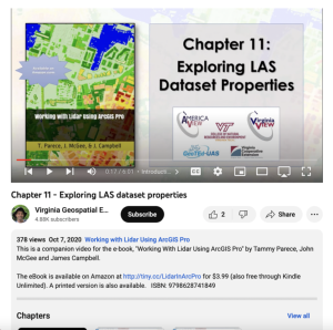
This video, provided by Virginia Geospatial Extension, is part of a series of 22 tutorial videos on working with Lidar using ArcGIS Pro. This tutorial covers lidar dataset properties and metadata, including point count, coordinate system information, and more. This video runs 6:01 minutes in length....
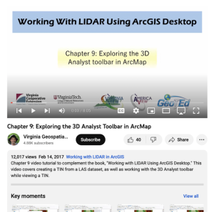
This video, provided by Virginia Geospatial Extension, is part of a series of 16 tutorial videos on using Lidar with ArcGIS Desktop. This tutorial demonstrates how to work with the 3D Analyst toolbar in ArcMap, one of the software applications of ArcGIS Desktop. This video runs 08:05 minutes in...
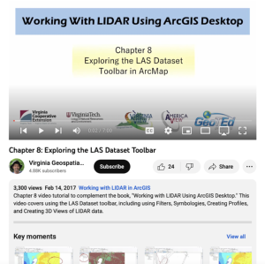
This video, provided by Virginia Geospatial Extension, is part of a series of 16 tutorial videos on using Lidar with ArcGIS Desktop. This tutorial demonstrates how to navigate the LAS dataset toolbar in ArcMap, one of the software applications of ArcGIS Desktop. This video runs 07:00 minutes in...
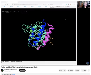
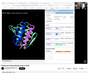
This video, provided by Digital World Biology, is from a series of tutorial videos for iCn3D, a web-based three-dimensional visualization and structural analysis platform for molecular structures. During this video, presenter Sandra Porter provides step-by-step instructions on finding and...
This video, provided by Digital World Biology, is from a series of tutorial videos for iCn3D, a web-based three-dimensional visualization and structural analysis platform for molecular structures. During this tutorial, presenter Sandra Porter provides step-by-step instructions on identifying,...
| |
| ← Previous | Next → |
