Browse Resources
Instructional Material -- Unit of Instruction
Resources | |
|---|---|
Description:
This learning module is provided by Work-Ready Electronics and covers programmable Logic devices. Work-Ready Electronics modules are intended to be used either independently or integrated with current electronics curricula in college programs. This module is divided into three sections:...
This activity for high school students from the Florida Advanced Technological Education (FL-ATE) Center "introduces students to the concept of robotics by programming a robot for NASA that will be sent out to explore a newly discovered planet." Students will learn the concept of programming, gain...
This activity for middle school students from the Florida Advanced Technological Education (FL-ATE) Center "introduces students to the concept of robotics by programming a robot for NASA that will be sent out to explore a newly discovered planet." A teacher lesson plan, student worksheet, grading...
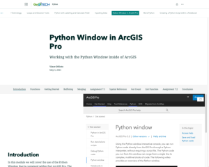
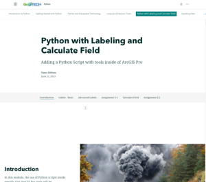
This resource, provided by the GeoTech Center, is the third of nine online modules in the Python and Geospatial Mapping course. The course is designed for experienced users of Global Information Systems (GIS) platforms who are new to programming, with the goal of teaching them how to use Python to...
This resource, provided by the GeoTech Center, is the seventh of nine online modules in the Python and Geospatial Mapping course. The course is designed for experienced users of Global Information Systems (GIS) platforms who are new to programming, with the goal of teaching them how to use Python to...
This resource, provided by the GeoTech Center, is the fifth of nine online modules in the Python and Geospatial Mapping course. The course is designed for experienced users of Global Information Systems (GIS) platforms who are new to programming, with the goal of teaching them how to use Python to...
Learning Unit Description:
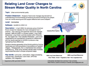
The Integrated Geospatial Education and Technology Training Project (iGETT) presents a series of Learning Units (LU) designed to incorporate federal land remote sensing data into Geographic Information System (GIS) instruction. The Land Cover Classification and Urban...
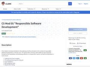
This webpage, from National Cybersecurity Training and Education (NCYTE) Center, is one of seven learning modules from the Cybersecurity-Infused Computer Science Modules series. This module introduces students to "cybersecurity first principles in the context of responsible software development."...
This activity for high school students from the Florida Advanced Technological Education (FLATE) Center asks students to play the role of a safety inspector and identify safety hazards. The class will also learn the different types of Personal Protective Equipment, or PPE, as well as the importance...
This activity for middle school students from the Florida Advanced Technological Education (FLATE) Center asks students to play the role of a safety inspector and identify safety hazards. The class will also learn the different types of Personal Protective Equipment, or PPE, as well as the...
| |
| ← Previous | Next → |
