Browse Resources
Higher Education -- Undergraduate (Lower Division)
Resources | |
|---|---|
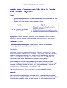
During this 5-page activity, from the Advanced Technology Environmental and Energy Center, students learn about the dangers of releasing polluting materials into the environment by studying what to do with old computers. The activity requires students to research hazards resulting from obsolete...
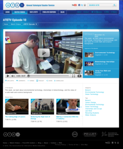
The ATETV project delivers web-based videos to connect students to careers in advanced technology. This episode of ATETV looks at Water Management and Biotechnology programs, as well as the emphasis one needs in mathematics and science to excel in technical careers. This video showcases how adult...
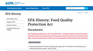
This web page offers a brief summary of the Food Quality Protection Act (FQPA) as it concerns the Environmental Protection Agency's regulation of pesticides. Links to both the EPA's archive of materials regarding the FQPA and a summary of the FQPA are provided. In addition, the web page includes a...
This podcast episode, published by the Center for Occupational Research and Development, is part of a series that covers issues and topics on technician development. In this episode, Jennifer Oddo, Executive Director of the Division of Workforce Education and Innovation at Youngstown State...
This is a 3-D animation of equivalent crystal planes. It shows the Miller indices linking nodes as a corresponding binary family within braces. This animation is approximately 13 seconds in length.
ArcGIS Online provides ArcGIS users with a set of foundation services that are deeply integrated with ArcGIS. As an ArcGIS user, you have immediate access to map services, task services, software developer kits (SDKs), and other content via the Web. ArcGIS Online services are available as standard,...
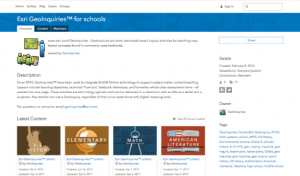
The Environmental Systems Research Institute (ESRI) presents GeoInquiries, a database of educational resources on GIS technology and other general education topics. "Lessons include learning objectives, technical "how-to's", textbook references, and formative whole-class assessment items - all...
This video is provided by GeoTech and is part of a series on web mapping. During this video, the presenter discusses Esri Insights by showcasing a simple Insights page on wineries. Esri Insights is a data analytics and visualization tool that allows users to create dynamic maps, charts, and...
This site is ESRI's home on YouTube. Users may view videos on the topics of ArcGIS, careers and opportunities at ESRI and the role of GIS in the larger world. The videos range in length and flash is required to view them.
Learning Unit Description:
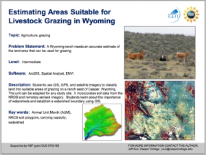
The Integrated Geospatial Education and Technology Training Project (iGETT) presents a series of Learning Units (LU) designed to incorporate federal land remote sensing data into Geographic Information System (GIS) instruction. The Estimating Areas Suitable for...
| |
| ← Previous | Next → |
