Browse Resources
Higher Education -- Undergraduate (Lower Division)
Resources | |
|---|---|
This module is provided by GeoTech Center, and discusses geocoding as it relates to geospatial data. Module contents include a video recording and a quiz that reviews the content presented in the module.
The Concept Module is a recorded PowerPoint presentation provided by Dr. Thomas Mueller who...
The U.S. Department of Labor Employment & Training Administration has created O*NET, a collection of detailed descriptions of the world of work for use by job seekers, workforce development and HR professionals, students, and researchers. This particular page explores the vocation of Geographic...
This video, from the 2021 Esri Education Summit, provides two presentations that explore new perspectives on digital humanities through the use of data visualizations. In the first presentation, Caitlin Dickinson explores creative uses of GIS in the digital humanities. Dickinson provides examples of...
National Geographic and ESRI have created a new program to inspire educators and community members to work together to improve student learning.The GeoMentor program is designed to inspire volunteers to work with a teacher or youth club leader to help kids see, use, and do more geography in and out...
These resources include a 4-page syllabus and a 1-page course table map for the Geospatial Analysis course taught at Weber State University. "This advanced geospatial course presents geoprocessing techniques that support spatial analysis and modeling in both the vector and raster data models. The...
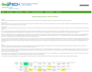
This web page provides an overview of a research study on the National Geospatial Technology Center of Excellence (GeoTech Center) Geospatial Competency Matrix. The study's purpose was to "explore the viewpoints of geospatial practitioners and educators toward the GeoTech Center Geospatial...
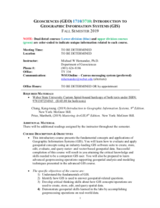
These resources include a 4-page syllabus and a 1-page course table map for the Introduction to Geospatial Data Acquisition course taught at Weber State University. "This applied geospatial course introduces students to primary data collection methods in the field, with emphasis on GPS/GNSS, sUAS...
These resources include a 3-page syllabus and a 1-page course table map for the Geospatial Internship course at Weber State University. "This summative course provides a structured work experience in a supervised setting under the direction of a geospatial employer mentor and the course instructor....
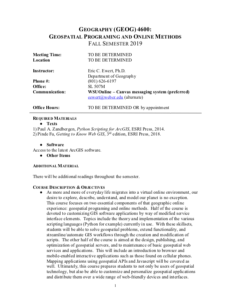
These resources include a 4-page syllabus and a 2-page course table map for the Geospatial Programming and Online Methods course taught at Weber State University. "Half of the course is devoted to customizing GIS software applications by way of modified service interface elements. Topics include the...
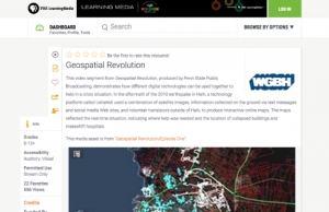
This video segment from Geospatial Revolution, produced by Penn State Public Broadcasting, demonstrates how different digital technologies can be used together to create a powerful mapping tool that can help in a crisis situation. In the aftermath of the 2010 earthquake in Haiti, a technology...
| |
| ← Previous | Next → |
