Browse Resources
Higher Education -- Undergraduate (Lower Division)
Resources | |
|---|---|
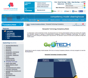
The Geospatial Technology Competency Model (GTCM) is depicted as a pyramid with nine tiers. This depiction illustrates how occupational and industry competencies build on a foundation of personal effectiveness, academic, and workplace competencies. Each tier consists of one or more blocks...
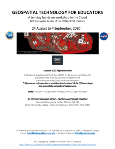
This 6-page document, from the BCC Geospatial Center of the CUNY CREST Institute, includes the application form for the summer 2020 Geospatial Technology For Educators workshop. This event was a 10 day hands-on professional development workshop in the Cloud. In addition to the application, this...
The GeoTech Center curated this list of case studies which will be useful sources of information for instructors in this subject area. Included in the list are Academic Case Studies, which contain information which "highlights exemplary geospatial technology academic programs from around the US....
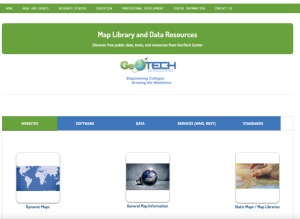
This page from GeoTech includes links to data sources and online maps that would be useful in geospatial courses. Links are included for websites, software, data, services, and standards.
The GeoTech Center curated this list of geospatial technology resources for the benefit of both students and instructors in this subject area. The resources include: "How To Incorporate American Community Survey data from TIGER Files," "Going Places With GPS," "GPS Units by GIS Etc.," and "GPS...
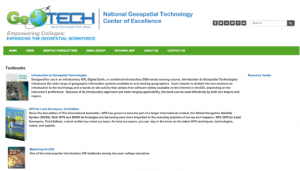
The GeoTech Center curated this list of textbook resources for the benefit of both students and instructors in this subject area. Included in this list is a variety of textbooks related to geospatial subjects, including: introductory materials, ArcGIS, GIS, GPS, and the python programming language.
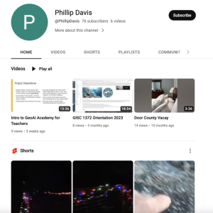
The GeoTech Center, from Del Mar College, presents their YouTube channel, featuring videos on geospatial technology education, competitions, workforce, and more. View a number of the GeoTech Center's webinars, on topics from integrating GIS across the curriculum to developing e-portfolios.
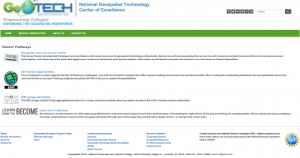
This page from the GeoTech Center provides links to several websites with information on geospatial careers. These include the Geospatial Job and Career Center at Directions Magazine, the career section of ESRI's website for those interested in working for this GIS software company, the GIS Lounge's...
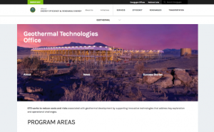
This page provides information on geothermal energy at the U.S. Department of Energy. The page includes the following sections: About the Geothermal Technologies Office, Enhanced Geothermal Systems, Hydrothermal Resources, Low-Temperature and Coproduced Resources, Systems Analysis, Publications,...
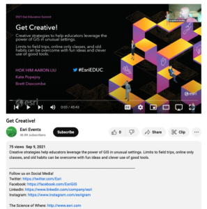
This video, from the 2021 Esri Education Summit, provides three presentations on "creative strategies to help educators leverage the power of GIS in unusual settings." In the first presentation, Hok Him "Aaron" Liu provides information on the use of GIS and StoryMap for K-12 geography education in...
| |
| ← Previous | Next → |
