Browse Resources
Higher Education -- Undergraduate (Upper Division)
Resources | |
|---|---|
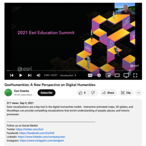
This video, from the 2021 Esri Education Summit, provides two presentations that explore new perspectives on digital humanities through the use of data visualizations. In the first presentation, Caitlin Dickinson explores creative uses of GIS in the digital humanities. Dickinson provides examples of...
National Geographic and ESRI have created a new program to inspire educators and community members to work together to improve student learning.The GeoMentor program is designed to inspire volunteers to work with a teacher or youth club leader to help kids see, use, and do more geography in and out...
These resources include a 4-page syllabus and a 1-page course table map for the Geospatial Capstone at Weber State University. "This capstone course provides a summative learning experience that is a culmination of a students geospatial education. [Students] will apply [their] knowledge and skills...
This web page provides an overview of a research study on the National Geospatial Technology Center of Excellence (GeoTech Center) Geospatial Competency Matrix. The study's purpose was to "explore the viewpoints of geospatial practitioners and educators toward the GeoTech Center Geospatial...
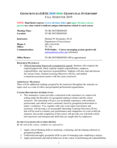
These resources include a 3-page syllabus and a 1-page course table map for the Geospatial Internship course at Weber State University. "This summative course provides a structured work experience in a supervised setting under the direction of a geospatial employer mentor and the course instructor....
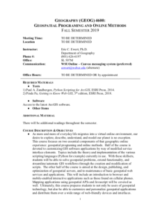
These resources include a 4-page syllabus and a 2-page course table map for the Geospatial Programming and Online Methods course taught at Weber State University. "Half of the course is devoted to customizing GIS software applications by way of modified service interface elements. Topics include the...
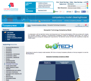
The Geospatial Technology Competency Model (GTCM) is depicted as a pyramid with nine tiers. This depiction illustrates how occupational and industry competencies build on a foundation of personal effectiveness, academic, and workplace competencies. Each tier consists of one or more blocks...
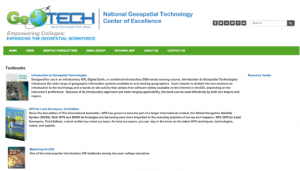
The GeoTech Center curated this list of textbook resources for the benefit of both students and instructors in this subject area. Included in this list is a variety of textbooks related to geospatial subjects, including: introductory materials, ArcGIS, GIS, GPS, and the python programming language.
This video, from the 2021 Esri Education Summit, provides three presentations on "creative strategies to help educators leverage the power of GIS in unusual settings." In the first presentation, Hok Him "Aaron" Liu provides information on the use of GIS and StoryMap for K-12 geography education in...
This webinar, made available by Maricopa Advanced Technology Education Center (MATEC), discusses how instructors can maximize the usefulness of student survey data by designing quality student surveys. The webinar was presented by Dr. Catherine Nameth, Education Coordinator at UCLA. Topics covered...
| |
| ← Previous | Next → |
