Browse Resources
Resources | |
|---|---|
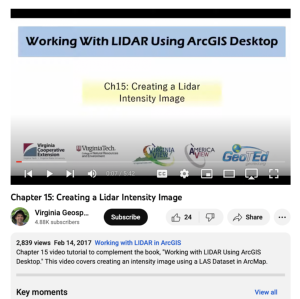
This video, provided by Virginia Geospatial Extension, is part of a series of 16 tutorial videos on using Lidar with ArcGIS Desktop. This tutorial demonstrates how to create a Lidar intensity image and how to check dataset properties. The recording runs 05:42 minutes in length. The other videos in...
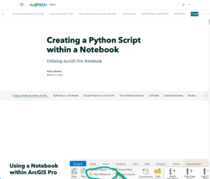
This resource, provided by the GeoTech Center, is the ninth and final online module in the Python and Geospatial Mapping course. The course is designed for experienced users of Global Information Systems (GIS) platforms who are new to programming, with the goal of teaching them how to use Python to...
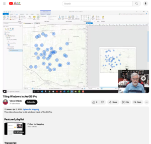
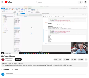
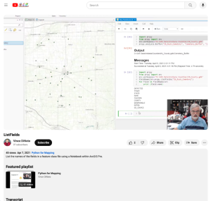
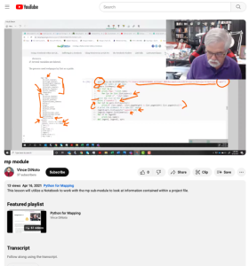
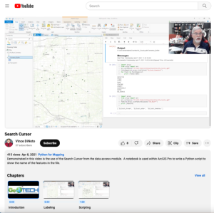
This video lesson, provided by the GeoTech Center, is from the ninth module of the Python and Geospatial Mapping course, titled Creating a Python Script Within a Notebook. The course is designed for experienced users of Global Information Systems (GIS) platforms who are new to programming, with the...
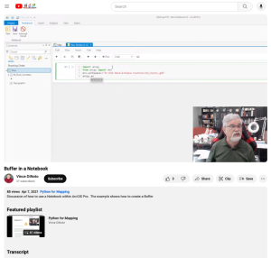
This video lesson, provided by the GeoTech Center, is from the ninth module of the Python and Geospatial Mapping course, titled Creating a Python Script Within a Notebook. The course is designed for experienced users of Global Information Systems (GIS) platforms who are new to programming, with the...
This video lesson, provided by the GeoTech Center, is from the ninth module of the Python and Geospatial Mapping course, titled Creating a Python Script Within a Notebook. The course is designed for experienced users of Global Information Systems (GIS) platforms who are new to programming, with the...
This video lesson, provided by the GeoTech Center, is from the ninth module of the Python and Geospatial Mapping course, titled Creating a Python Script Within a Notebook. The course is designed for experienced users of Global Information Systems (GIS) platforms who are new to programming, with the...
This video lesson, provided by the GeoTech Center, is from the ninth module of the Python and Geospatial Mapping course, titled Creating a Python Script Within a Notebook. The course is designed for experienced users of Global Information Systems (GIS) platforms who are new to programming, with the...
This video lesson, provided by the GeoTech Center, is from the ninth module of the Python and Geospatial Mapping course, titled Creating a Python Script Within a Notebook. The course is designed for experienced users of Global Information Systems (GIS) platforms who are new to programming, with the...
This video lesson, provided by the GeoTech Center, is from the ninth module of the Python and Geospatial Mapping course, titled Creating a Python Script Within a Notebook. The course is designed for experienced users of Global Information Systems (GIS) platforms who are new to programming, with the...
In this video from Mentor-Connect, Pamela Silvers explores ATE grant reward abstracts. Information on where to include abstracts, what abstracts are, who creates an abstract, who is the audience for an abstract, and what to include in an abstract is highlighted. Examples and samples are provided....
| |
| ← Previous | Next → |
