Browse Resources
Resources | |
|---|---|
This lecture, published by Columbia Gorge Community College, provides a detailed overview of acceleration control of hydraulic actuators using proportional valves. The presenter discusses "controlling the ramp up and down rate of applied voltage influences the gradual opening and closure of the...
In this video from Mentor-Connect, Pamela Silvers explores ATE proposal panel reviews. Information on the merit review process, where to locate reviews, and how to use a review to grow is provided. The video recording runs 3:46 minutes in length.
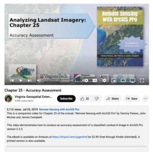
This video, provided by Virginia Geospatial Extension, is part of a series of 28 tutorial videos on remote sensing with ArcGIS Pro. This tutorial "demonstrates how to conduct an accuracy assessment of a classified Landsat 8 image in ArcGIS Pro version 2.3.3." This video runs 12:40 minutes in length....
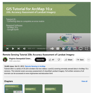
This tutorial, provided by Virginia Geospatial Extension, is part of a series of 30 videos that cover remotely sensed data in ArcMap 10.x versions. This tutorial is divided into two videos (20A and 20B) and covers "accuracy assessment of Landsat Imagery." Gathering data to complete an error matrix...
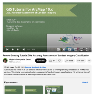
This tutorial, provided by Virginia Geospatial Extension, is part of a series of 30 videos that cover remotely sensed data in ArcMap 10.x versions. This tutorial is divided into two videos (20A and 20B) and covers "accuracy assessment of Landsat Imagery." Gathering data to complete an error matrix...
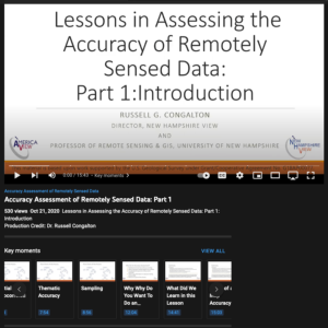
This video from AmericaView is part of a series that explores the process of assessing the accuracy of maps made from remotely sensed data. In the video, Russell G. Congalton from the University of New Hampshire provides an introduction to map assessments for remotely sensed data, specifically...
This video from AmericaView is part of a series that explores the process of assessing the accuracy of maps made from remotely sensed data. In the video, Russell G. Congalton from the University of New Hampshire provides an overview of positional accuracy. After the lesson, learners will be able to...
This video from AmericaView is part of a series that explores the process of assessing the accuracy of maps made from remotely sensed data. In the video, Russell G. Congalton from the University of New Hampshire explores methods and analysis for positional accuracy. After the lesson, learners will...
This video from AmericaView is part of a series that explores the process of assessing the accuracy of maps made from remotely sensed data. In the video, Russell G. Congalton from the University of New Hampshire provides an overview of thematic accuracy. After the lesson, learners will be able to...
This video from AmericaView is part of a series that explores the process of assessing the accuracy of maps made from remotely sensed data. In the video, Russell G. Congalton from the University of New Hampshire explores reference data collection for thematic accuracy. After the lesson, learners...
| |
| ← Previous | Next → |


