Browse Resources
Resources | |
|---|---|
This video is the plenary session for the 2021 Esri Education Summit. In the plenary session, Charlie Fitzpatrick introduces the summit and Esri team and explores the Esri School Program. Kylie Donia also leads a participant survey with ArcGIS. The GeoInquiries Program, NatGeo Education, an overview...
This video, made available by the Northeast Advanced Technological Education Center (NEATEC), is part of the NEATEC Digital Electronics Series from Professor Roger Young. This video is the first of three that describe Karnaugh maps. The recording runs 18:21 minutes in length and parts two and three...
This video, made available by the Northeast Advanced Technological Education Center (NEATEC), is part of the NEATEC Digital Electronics Series from Professor Roger Young. This video is the second of three that describe Karnaugh maps. The recording runs 39:56 minutes in length and parts one and three ...
This video, made available by the Northeast Advanced Technological Education Center (NEATEC), is part of the NEATEC Digital Electronics Series from Professor Roger Young. This video is the third of three that describe Karnaugh maps. The recording runs 21:58 minutes in length and parts one and two...
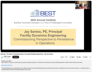
This presentation, from the Building Efficiency for a Sustainable Tomorrow (BEST) Center, is from the BEST Center's 2022 Annual Institute. In this presentation, Jay Santos, P.E. principle of Facility Dynamics Engineering, discusses commissioning and retro commissioning with a focus on energy. Santos...
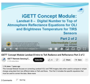
This video, from the Integrated Geospatial Education and Technology Training Project (iGETT), is the second video in a two part concept module that focuses on correcting Landsat 8 Operational Land Imager (OLI) and Thermal Infrared Sensor (TIRS) imagery. This concept module discusses correcting "... ...
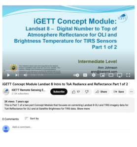
This video, from the Integrated Geospatial Education and Technology Training Project (iGETT), is the first of a two part concept module that focuses on correcting digital numbers (DN) for the two types of sensors on Landsat 8. The sensor Operational Land Imager (OLI) corrected to Top of Atmosphere...
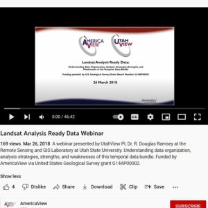
This video from AmericaView explores Landsat Analysis Ready Data (ARD). In the video, R. Douglas Ramsey from UtahView at the Remote Sensing and GIS Laboratory at Utah State University provides a general introduction to Landsat ARD and discusses data organization, data products, analysis strategies,...
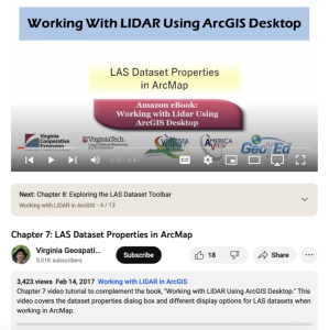
This video, provided by Virginia Geospatial Extension, is part of a series of 16 tutorial videos on using Lidar with ArcGIS Desktop. This tutorial demonstrates how to understand LAS dataset properties in ArcMap, one of the software applications of ArcGIS Desktop, and how to alter the display...
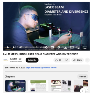
This video from Laser-Tec is part of a series of light and optics experiments. In this lab, participants measure laser beam divergence, calculate a laser beam's diameter, determine the divergence of an HeNe laser, and calculate beam waist. Equipment includes a laser diode module, laser holder, two...
| |
| ← Previous | Next → |
