Browse Resources
Resources | |
|---|---|
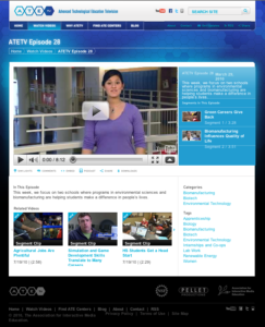
The ATETV project delivers web-based videos to connect students to careers in advanced technology. This episode from ATETV focuses "on two schools where programs in environmental sciences and biomanufacturing are helping students make a difference in people’s lives." The episode can be watched in...
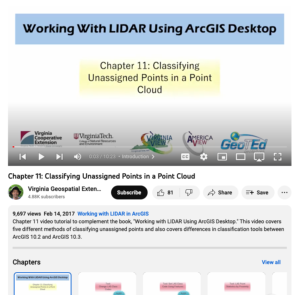
This video, provided by Virginia Geospatial Extension, is part of a series of 16 tutorial videos on using Lidar with ArcGIS Desktop. This tutorial demonstrates how to classify unassigned points in a point cloud. This video runs 10:23 minutes in length. The other videos in the series are available to...
This module, published by the Advanced Technology Environmental Education Center (ATEEC), is part of a series of instructional materials on environmental technology and decision-making. This module focuses on the science-based background and research on climate change. Additionally, the resource ...
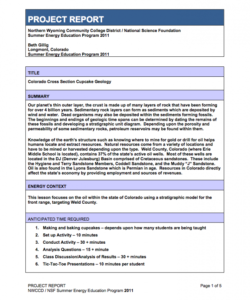
This lesson, from the Northern Wyoming Community College District, focuses on geology and the earth's structure in the context of locating and extracting natural resources. Using specially prepared cupcakes, student learn about the earth's geologic history through drawing and labeling rock layers,...
This video, provided by Virginia Geospatial Extension, is part of a series of 16 tutorial videos on using Lidar with ArcGIS Desktop. This tutorial demonstrates how to create a digital elevation model (DEM) using a Lidar dataset. This video runs 5:41 minutes in length. The other videos in the series...
This video, provided by Virginia Geospatial Extension, is part of a series of 16 tutorial videos on using Lidar with ArcGIS Desktop. This tutorial demonstrates how to create a Lidar intensity image and how to check dataset properties. The recording runs 05:42 minutes in length. The other videos in...
This lesson, created by David Hayden of St. Peter Claver Catholic School, allows students to use the scientific method to create hands-on exhibits about energy resources, how energy resources are used, and the different types of energy. The lesson introduces students to the basics of earth materials...
This presentation, provided by the Building Efficiency for a Sustainable Tomorrow (BEST) Center, is from the BEST Center's 2022 Annual Institute. During the presentation, Jared Langevin, research scientist at Lawrence Berkley National Lab, examines and explains the simulations that demonstrate how...
This activity, created by Clint Moseley, demonstrates the embodied energy hidden in the products people use, purchase, and throw away, in addition to the travel people undertake. Students will use actual utility statements, spending habits, and travel history to calculate their own carbon footprint,...
This video, provided by Virginia Geospatial Extension, is part of a series of 16 tutorial videos on using Lidar with ArcGIS Desktop. This tutorial demonstrates how to download Lidar datasets from the United States Geological Survey (USGS) using Earth Explorer. This video runs 03:58 minutes in...
| |
| ← Previous | Next → |
