Browse Resources
Information and Security Technologies -- Geospatial technologies
Resources | |
|---|---|
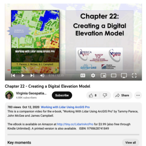
This video, provided by Virginia Geospatial Extension, is the last in a series of 22 tutorial videos on working with Lidar using ArcGIS Pro. This tutorial demonstrates creating a digital elevation model and digital surface model, discusses settings and alternate tools used in creating these models,...
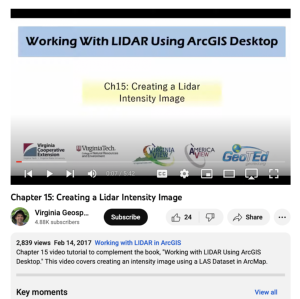
This video, provided by Virginia Geospatial Extension, is part of a series of 16 tutorial videos on using Lidar with ArcGIS Desktop. This tutorial demonstrates how to create a Lidar intensity image and how to check dataset properties. The recording runs 05:42 minutes in length. The other videos in...
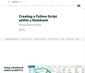
This resource, provided by the GeoTech Center, is the ninth and final online module in the Python and Geospatial Mapping course. The course is designed for experienced users of Global Information Systems (GIS) platforms who are new to programming, with the goal of teaching them how to use Python to...
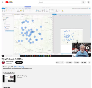
This video lesson, provided by the GeoTech Center, is from the ninth module of the Python and Geospatial Mapping course, titled Creating a Python Script Within a Notebook. The course is designed for experienced users of Global Information Systems (GIS) platforms who are new to programming, with the...
This video lesson, provided by the GeoTech Center, is from the ninth module of the Python and Geospatial Mapping course, titled Creating a Python Script Within a Notebook. The course is designed for experienced users of Global Information Systems (GIS) platforms who are new to programming, with the...
This video lesson, provided by the GeoTech Center, is from the ninth module of the Python and Geospatial Mapping course, titled Creating a Python Script Within a Notebook. The course is designed for experienced users of Global Information Systems (GIS) platforms who are new to programming, with the...
This video lesson, provided by the GeoTech Center, is from the ninth module of the Python and Geospatial Mapping course, titled Creating a Python Script Within a Notebook. The course is designed for experienced users of Global Information Systems (GIS) platforms who are new to programming, with the...
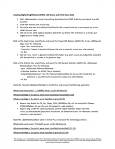
In this 3-page activity, provided by the Unmanned Aircraft System operations Technician Education Program (UASTEP), students work with point cloud data gathered by drones and processed with photogrammetry techniques. In addition, students explore point cloud data provided by the U.S. Geological...
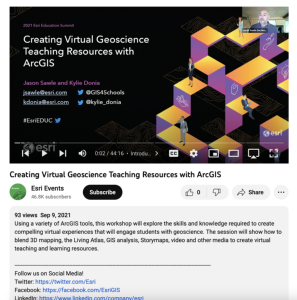
This workshop took place at the 2021 Esri Education Summit and "... explores the skills and knowledge required to create compelling virtual experiences that will engage students with geoscience." During this video, viewers will be shown "... how to blend 3D mapping, the Living Atlas, GIS analysis,...
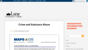
This activity, developed by the Lane Community College MAPS GIS Program, asks students to use geographical information systems (GIS) to examine the correlations between crime and substance abuse. On this site, visitors will find links to the web-based GIS viewer needed to see and manipulate the data...
| |
| ← Previous | Next → |
