Browse Resources
Geography -- Geographic information systems (GIS)
Resources | |
|---|---|
This page from the GeoTech Center provides a link to an introductory textbook on Geographic Information Systems, or GIS. The textbook is freely available online. The text covers a general introduction to GIS, vector data, vector attribute data, data capture, raster data, topology, coordinate...
This post on the AmericaView Blog describes accessing Landsat data and using it in the ArcGIS program. The post includes a link to an instructional video which will show you how to access freely available Landsat satellite imagery and data and then work with it in ArcGIS. Running time for the video...
In this lesson from the MAPS GIS program at Lane Community College, acid precipitation will be defined. At different points in the lesson students will write balanced reactions for the formation acid precipitation from atmospheric sulfur and nitrogen oxides and the neutralization of acids by...
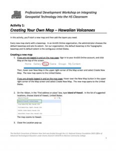
This 7-page activity is provided by the GeoTech Consortium of Western New York: Get the GIST (Geospatial Information Science Technology) Certificate and is intended as a professional development activity. The activity includes step-by-step instructions which involve creating a new map, adding layers...
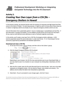
This 4-page activity is provided by the GeoTech Consortium of Western New York: Get the GIST (Geospatial Information Science Technology) Certificate and is intended to help users turn spreadsheet data into map layers. During the activity users will create a new ArcGIS map layer from a CSV file of...
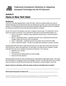
This 7-page activity is provided by the GeoTech Consortium of Western New York: Get the GIST (Geospatial Information Science Technology) Certificate and is intended as a professional development activity. The activity includes background information on state-regulated dams in New York State and...
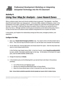
In this 12-page activity, provided by the GeoTech Consortium of Western New York: Get the GIST (Geospatial Information Science Technology) Certificate, users explore lava hazard zones using a map in ArcGIS. The activity includes an introduction and step-by-step instructions. The instructions involve...
This one page PDF, from the GeoTech Center, provides essential resources for starting a new geospatial academic program.
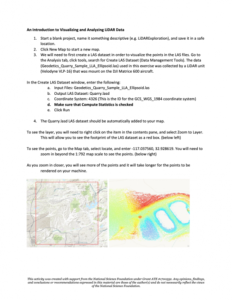
In this 4-page activity, provided by the Unmanned Aircraft System operations Technician Education Program (UASTEP), students are introduced to some of the properties (i.e. return value, point count) of LiDAR data gathered by a sensor mounted on a drone or unmanned aircraft system. In addition,...
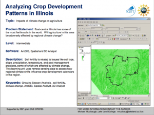
Learning Unit Description:
The Integrated Geospatial Education and Technology Training Project (iGETT) presents a series of Learning Units (LU) designed to incorporate federal land remote sensing data into Geographic Information System (GIS) instruction. The Analyzing Crop Development Patterns in...
| |
| Next → | |
