Browse Resources
Resources | |
|---|---|
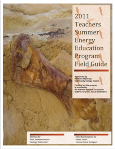
This 68-page document, created by Tom Johannesmeyer, serves as a summary of the Northern Wyoming Community College District's 2011 Summer Energy Education Program, established for teachers and students located in the Northeast Wyoming region. The Teacher Program provides seven-to-fourteen teachers...
A Process-based Analysis of Methane Exchanges Between Alaskan Terrestrial Ecosystems and the AtmosphThis paper, published by the MIT Joint Program on the
Science and Policy of Global Change, discusses how the authors used computer modeling to predict trends in the absorption and release of methane in Alaskan soils, taking into account the effects that predicted climate change might have on...
This video, provided by Virginia Geospatial Extension, is part of a series of 16 tutorial videos on using Lidar with ArcGIS Desktop. This tutorial demonstrates how to add and remove surface constraints on a Lidar dataset in ArcGIS Desktop. This video runs 05:46 minutes in length. The other videos in...
This video, provided by Virginia Geospatial Extension, is part of a series of 16 tutorial videos on using Lidar with ArcGIS Desktop. This tutorial demonstrates how to add files to an existing LAS-formatted Lidar datasets for use in ArcGIS Desktop. This video runs 04:29 minutes in length. The other...
This lesson plan from Breathe Utah and the STEM Action Center - Utah covers air pollution. The lesson is intended for 6th to 8th graders and includes the aligning Core Standards. During the lesson, "students will investigate possible solutions to air pollution in relation to per capita consumption...
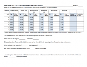
This lesson, developed by Cindy Nestel of Summit Middle School, is designed to be a follow-up lesson to "Which Rare Earth Element Will Be Named 'The Element of the Year?'" The lesson serves as an integrated science and math activity, in which students analyze data about rare earth elements and read...
Learning Unit Description:
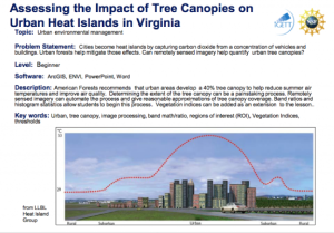
The Integrated Geospatial Education and Technology Training Project (iGETT) presents a series of Learning Units (LU) designed to incorporate federal land remote sensing data into Geographic Information System (GIS) instruction. The Assessing the Impact of Tree Canopies...
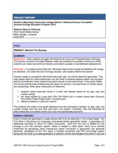
This lesson, developed by Rebecca B. Holloway of Park Forest Middle School, connects the bridge between 'Science as Inquiry' and 'Transformation of Energy' and provides a strong link through which students can make real world connections and succeed on standardized assessments. Created using...
Bismarck State College offers a program certificate, a certificate of completion, and an Associate in Applied Science degree in Geographic Information Systems (GIS). GIS is the only software program available that can capture and store geospatial data, which allows users to ask and answer complex...
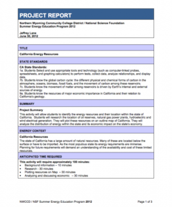
This lesson, from the Northern Wyoming Community College District, focuses on California's natural resources. Students identify the energy resources present in the state, including oil, natural gas, hydroelectric, and wind power generation, and plot them on a map of the state. Using this map,...
| |
| Next → | |
