Browse Resources
Resources | |
|---|---|
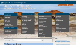
This website, managed by the National Association for Geoscience Teachers, provides professional development resources for undergraduate geoscience educators. Under "Develop Program-Wide Abilities," educators will find information on teaching complex systems, facilitating undergraduate research, and...
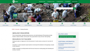
This page from the Pennsylvania Department of Conservation and Natural Resources provides a number of classroom resources on topics like rocks, minerals, fossils, general geology, glaciers, earthquakes, historic geology and more. Clicking on a topic area will lead users to a webpage with resources...
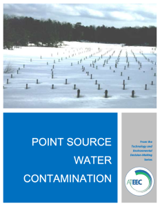
This 40-page module, published by the Advanced Technology Environmental Education Center (ATEEC), is part of a series of instructional materials on environmental technology and decision-making. This module focuses on the science-based background and research on point source water contamination. ...
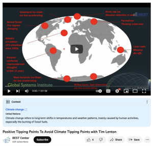
This video from the Building Efficiency for a Sustainable Tomorrow (BEST) National Center is part of the center's 2023 Annual Institute. This video features Tim Lenton, Professor of Climate Change and Director of the Global Systems Institute University of Exeter. In the video, Lenton summarizes "...
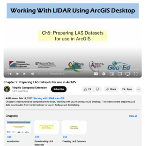
This video, provided by Virginia Geospatial Extension, is part of a series of 16 tutorial videos on using Lidar with ArcGIS Desktop. This tutorial demonstrates how to prepare LAS-formatted Lidar datasets for use in ArcGIS Desktop. This video runs 05:21 minutes in length. The other videos in the...
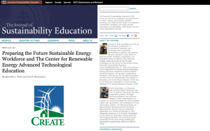
This report, by Kenneth A. Walz and Joel B. Shoemaker, examines recent milestones and possible future projects in the renewable energy sector. "Faculty development and educational programs will play a key role in preparing the next generation of renewable energy professionals. This report highlights...
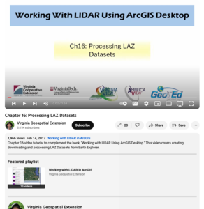
This video, provided by Virginia Geospatial Extension, is part of a series of 16 tutorial videos on using Lidar with ArcGIS Desktop. This tutorial demonstrates how to process LAZ-formatted datasets from the United States Geological Survey (USGS) using Earth Explorer. This video runs 1:53 minutes in...
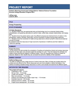
This lab activity, developed by Jeffrey Lane, demonstrates the complexity of locating and extracting mineral and energy resources. Students will take eight core samples and then locate them on a grid. Students will then analyze the samples and create a three-dimensional diagram containing different...
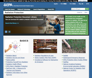
This website is from the US Environmental Protection Agency on Radiation Protection. This website includes links to the Radiation Protection Document Library, Radiation Protection Basics, Regulations, and Radiation Response.
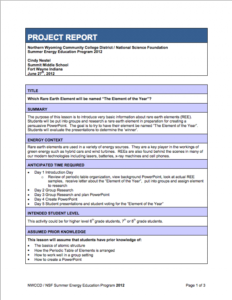
This lesson, created by Cindy Nestel of Summit Middle School, introduces basic information about rare earth elements to students. Rare earth elements, as explained within the lesson, are used in a variety of energy sources and are a key player in the workings of green energy such as hybrid cars and...
| |
| ← Previous | Next → |
