Browse Resources
Resources | |
|---|---|
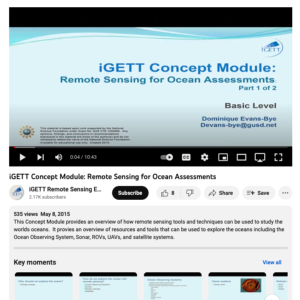
This video, created by Integrated Geospatial Education and Technology Training Project (iGETT), discusses how remote sensing tools and techniques are used for studying oceans. The following topics are covered: why should we explore the ocean, how do we explore the ocean with remote sensing, ocean...
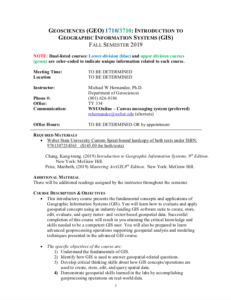
These resources include a 4-page syllabus and a 1-page course table map for the Geoscience: Principles and Methods course taught at Weber State University. "This is an advanced geospatial course that introduces and analyzes important concepts, issues, and methods related to a variety of...
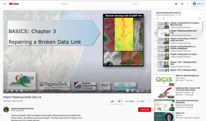
This video, provided by Virginia Geospatial Extension, is part of a series of 28 tutorial videos on remote sensing with ArcGIS Pro. This tutorial "uses ArcGIS Pro version 2.2 to illustrate how to fix a broken data link." This video runs 03:49 minutes in length. The other videos in the series are...
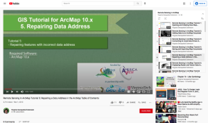
This tutorial, provided by Virginia Geospatial Extension, is part of a series of 30 videos that cover remotely sensed data in ArcMap 10.x versions. This video demonstrates repairing features with an incorrect data address. This video runs 00:45 seconds in length. The other videos in the series are...
These presentation slides were created by Vince Dinito and provide information on Geospatial Information Science and Technology (GIST) College Curriculum. The slides discuss GIST, GIS as a Profession, GIS&T Body of Knowledge, competency models, and Developing a Curriculum (DACUM). Competency models...
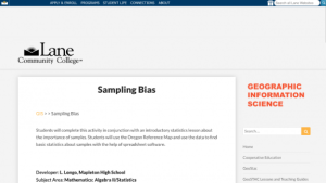
This activity from Lane Community College's MAPS GIS program, provides students with the opportunity to use a GIS map in conjunction with a statistics lesson and "use the data to find basic statistics about samples with the help of spreadsheet software." In this lesson, students will learn the...
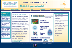
This resource, created by San Diego Bay Watersheds in partnership with San Diego State University, provides data about water quality in the Bay area. The site provides four different tutorials designed to introduce students or educators to the concepts of geographic information systems (GIS) as it...
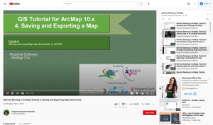
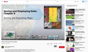
This tutorial, provided by Virginia Geospatial Extension, is part of a series of 30 videos that cover remotely sensed data in ArcMap 10.x versions. This tutorial demonstrates saving and exporting map documents in ArcGIS. This video runs 00:53 seconds in length. The other videos in the series are...
This video, provided by Virginia Geospatial Extension, is part of a series of 28 tutorial videos on remote sensing with ArcGIS Pro. This tutorial "uses ArcGIS Pro version 2.2 to illustrate saving ArcGIS Pro maps in forms that can be used in non-GIS platforms." This video runs 03:46 minutes in...
Description:
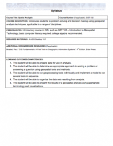
This Spatial Analysis course, from the National Information, Security & Geospatial Technologies Consortium, is part of a series of model courses on GIS, spatial technologies, and related subjects to provide students with the professional skills necessary to succeed in geospatial...
| |
| ← Previous | Next → |
