Browse Resources
Resources | |
|---|---|
Description:
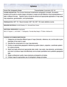
This Cartographic Design course, from the National Information, Security & Geospatial Technologies Consortium, is part of a series of model courses on GIS, spatial technologies, and related subjects to provide students with the professional skills necessary to succeed in geospatial...
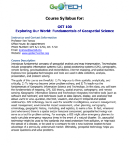
GeoTech Center presents a series of model courses on GIS, spatial technologies, and related subjects. This first course introduces "geospatial analysis and map interpretation," including "geographic information systems (GIS), global positioning systems (GPS), cartography, remote sensing,...
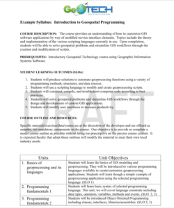
GeoTech Center presents a series of model courses on GIS, spatial technologies, and related subjects. This seventh course introduces "how to customize GIS software applications by way of modified service interface elements" by learning various scripting languages. All users can access the detailed...
| |


