Browse Resources
Resources | |
|---|---|
This video, from the Integrated Geospatial Education and Technology Training Project (iGETT), is the first part of a two-part presentation on monitoring vegetation greenness with remote sensing. The lecture focuses on use of the the Normalized Difference Vegetative Index (NDVI), including data...
This video, created by Integrated Geospatial Education and Technology Training Project (iGETT), discusses the four types of resolutions important when acquiring or using remote sensing imagery. The four types of resolutions include: spatial, spectral, radiometric, and temporal. Each resolution is...
This video, created by Integrated Geospatial Education and Technology Training Project (iGETT), covers how infrared radiation is used in remote sensing and by plants, animals, and humans. The video covers "the band values for infrared radiation and how the information can be used in astronomy and...
This video, created by Integrated Geospatial Education and Technology Training Project (iGETT), provides an introduction to remote sensing for Geographic Information Systems (GIS) users. This video discusses the following topics: how can remote sensing imagery be used, two types of "sensors" for...
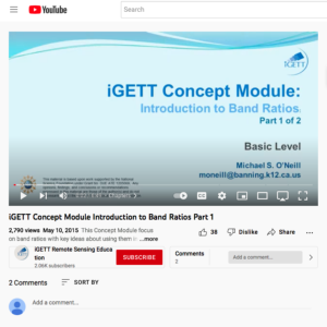
This resource, created by Integrated Geospatial Education and Technology Training Project (iGETT), is the first in a series of two videos about band ratios. This video provides an introduction to band ratios and covers the following topics: what is a band ratio, what key ideas govern band ratios, a...
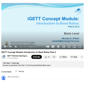
This resource, created by Integrated Geospatial Education and Technology Training Project (iGETT), is the second in a series of two videos about band ratios. This video includes three questions to answer after students have watched the first video. Two true/false and one short answer question are ...
Learning Unit Description:
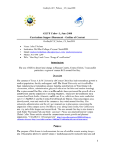
Integrated Geospatial Education and Technology Training (iGETT) presents a series of Learning Units (LU) designed to incorporate federal land remote sensing data into Geographic Information Systems (GIS) instruction. This LU covers the use of GIS to detect land change...
Description:
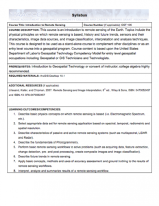
This Introduction to Remote Sensing course, from the National Information, Security & Geospatial Technologies Consortium, is part of a series of model courses on GIS, spatial technologies, and related subjects to provide students with the professional skills necessary to succeed in...
Learning Unit Description:
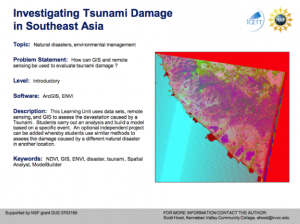
The Integrated Geospatial Education and Technology Training Project (iGETT) presents a series of Learning Units (LU) designed to incorporate federal land remote sensing data into Geographic Information System (GIS) instruction. The Investigating Tsunami Damage in...
Learning Unit Description:
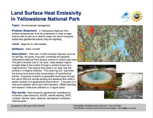
The Integrated Geospatial Education and Technology Training Project (iGETT) presents a series of Learning Units (LU) designed to incorporate federal land remote sensing data into Geographic Information System (GIS) instruction. The Land Surface Heat Emissivity in...
| |
| ← Previous | Next → |
