Browse Resources
Geography -- Floods and flooding
Resources | |
|---|---|
Learning Unit Description:
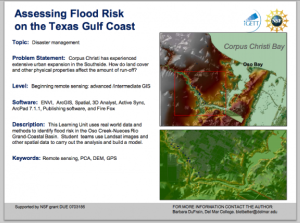
The Integrated Geospatial Education and Technology Training Project (iGETT) presents a series of Learning Units (LU) designed to incorporate federal land remote sensing data into Geographic Information System (GIS) instruction. The Flood Risk Assessment LU, by Barbara...
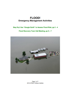
This resource, provided by The Advanced Technology Environmental and Energy Center (ATEEC) includes two documents relating to flood management activities. The first document is 7 pages and features two activities: Stay Dry! Use “Google Earth” to Assess Flood Risk, which asks students to determine...
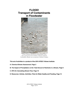
This 14-page document, provided by The Advanced Technology Environmental and Energy Center (ATEEC), contains three activities and a list of resources with links (articles, activities, films, etc.) related to flood management. The activities are as follows:
Chemical Stream Assessment
The Impact...
| |


