Browse Resources
Information and Security Technologies -- Information and communications technologies
Resources | |
|---|---|
This video presentation is from the DroneTech Educator Workshop: Drones and Geospatial Applications series provided by the National Center for Autonomous Technologies. In this presentation, Ben Richason discusses the different types of unmanned aerial system (UAS) analyses, including reconnaissance,...
This video presentation is from the DroneTech Educator Workshop: Drones and Geospatial Applications series provided by the National Center for Autonomous Technologies. In this presentation, Greg Emerick introduces Sentera, a company specializing in sensors and software tools for drones and...
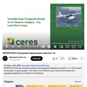
This video recording is from the DroneTech Educator Workshop: Drones and Geospatial Applications series provided by the National Center for Autonomous Technologies. In this presentation, Kirk M. Stueve presents on the practical applications of remote sensing for use in agriculture, specifically for...
This video recording is from the DroneTech Educator Workshop: Drones and Geospatial Applications series provided by the National Center for Autonomous Technologies. In this presentation, Steve Sorenson discusses the process of using data collected from unmanned aerial systems (UAS) and geographic...
This video recording is from the DroneTech Educator Workshop: Drones and Geospatial Applications series provided by the National Center for Autonomous Technologies. During this presentation, Ben Richason discusses lesson plan design to incorporate drone and geospatial applications into the...
This video recording is from the DroneTech Educator Workshop: Drones and Geospatial Applications series provided by the National Center for Autonomous Technologies. Ben Richason shares lesson plan examples that illustrate applications of drone and geospatial technologies in secondary and...
This slide deck, provided by the National Convergence Technology Center (CTC), was part of a special webinar presentation by David Keathly of the University of North Texas, a member school of the CTC's Convergence College Network (CCN) community of practice. These slides offer a detailed look at the...
This presentation slide deck, provided by the National Convergence Technology Center (CTC) at the fall 2022 NCPN conference in Atlanta, provided an overview of "BILT model," a process that energizes the relationship between educators and employer by putting industry in a "co-leadership" role to...
This presentation, provided by the IT Skill Standards 2020 and Beyond project (ITSS) and the National Convergence Technology Center (CTC), was part of a special webinar at the 2020 HITEC conference. The presentation discusses best practices and strategies for employing the BILT model to energize...
This presentation, provided by the IT Skill Standards 2020 and Beyond project (ITSS) and the National Convergence Technology Center (CTC), was part of a special webinar at the 2021 WASTC conference. This presentation discusses best practices and strategies for employing the BILT model to energize...
| |
| ← Previous | Next → |
