Browse Resources
Resources | |
|---|---|
This instruction resources page from the Environmental Literacy and Inquiry Working Group at Lehigh University accompanies their Energy curriculum, which focuses on the world's energy resources. It includes links to spreadsheets, My World GIS Files, Google Earth KML files, videos, supplemental...
Module Description:
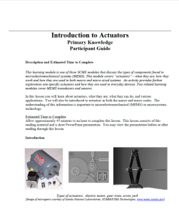
This module, from Support Center for Microsystems Education (SCME), provides an overview of actuator devices, including "what they are, how they work and how they are used in both macro and micro-sized systems." This module is divided into the following four units: Pre-test...
This activity, created by Maricopa Community Colleges, is designed to provide students with a short introduction to solar photovoltaic and solar thermal technology. The PowerPoint, which contains 74-slides, provides a brief overview of the history of solar energy: how it was originally used in the...
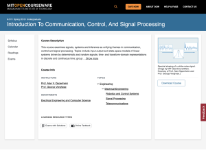
This is a course description for Massachusetts Institute of Technology’s (MIT) course 6.011, Introduction to Communication, Control, and Signal Processing. "This course explores ideas involving signals, systems and probabilistic models in the context of communication, control, and signal processing...
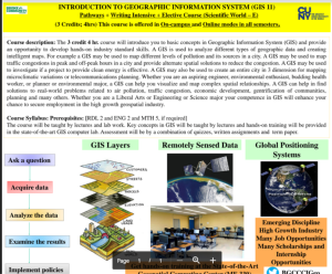
This course document, provided by Bronx Community College, provides a framework for an introduction to geographic information systems class. The document features a course description, and course syllabus and prerequisites. The syllabus of this 3 credit 4 hour course introduces students to basic...
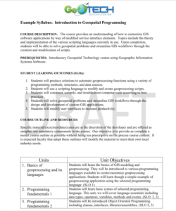
GeoTech Center presents a series of model courses on GIS, spatial technologies, and related subjects. This seventh course introduces "how to customize GIS software applications by way of modified service interface elements" by learning various scripting languages. All users can access the detailed...
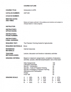
This 6-page course outline is provided by AgrowKnowledge and includes an overview of a Introduction to GPS course. "This course provides an overview of precision farming concepts and the tools of precision farming (GPS, GIS and VRT)." Introductory use of each of these tools in precision farming is...
Program Description:
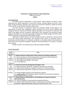
Lawrence Technical Institute offers a Bachelor of Science in Mechanical Engineering with six concentrations: alternative energy, automotive manufacturing, nanotechnology, solid mechanics, and thermal fluids, and is built around a core curriculum in thermal science,...
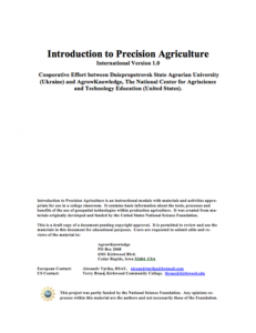
This 43-page module is provided by Dniepropetrovsk State Agrarian University (Ukraine) and AgrowKnowledge and includes materials and activities intended for use in a college classroom. This module "contains basic information about the tools, processes and benefits of the use of geospatial...
Learning Unit Description:
Integrated Geospatial Education and Technology Training (iGETT) presents a series of Learning Units (LU) designed to incorporate federal land remote sensing data into Geographic Information Systems (GIS) instruction. This LU covers the use of GIS to detect land change...
| |
| ← Previous | Next → |
